Participants: Neil and Ben
Where: Tighvein (Arran), 458m/1,503', Sub-2k Marilyn, Map 69, NR 997274
The good spell of weather continued, in the west anyway, so another island trip beckoned. I had been to Cumbrae earlier in the week and the Arran peaks tempted. So it was an early start from home to catch the 9.45 ferry at Ardrossan. Tighvein, the highest point in the south of the island was the target today. This is a view of it from the ferry- it is the plateau to the right of Holy Island. Can't say that I had noticed it before, it just looked like any other bit of high moorland but I was hoping for a good walk without too much rough ground plus some good views.....

The weather forecast was looking as though it would be correct for once; I was certainly tempted to abandon my sub-2k for another ascent of Goatfell but resisted.....


The starting point was a small Forestry Commission car park at Dyemill, just to the north of Lamlash The map showed a path going to Urie Loch which was on the 1,300' contour so that would be most of the ascent taken care of. In fact it was signed and there was a waymark pole from time to time. Obviously the loch was a popular local walk. The path started in a deciduous forest alongside a stream and then entered a pine forest where it got a bit steeper. This section was a bit muddy in places but not too bad and we made good time. The path ran along the top of the forest for a bit, steepened, and then we were out of the trees on to the plateau. There was a great view back to Lamlash......

across to Holy Isle.....

across the moor to the main Arran peaks.....

and this is Ben pausing to take it all in.....

The loch was just ahead in a small dip with Tighvein above it, not far away at all.....

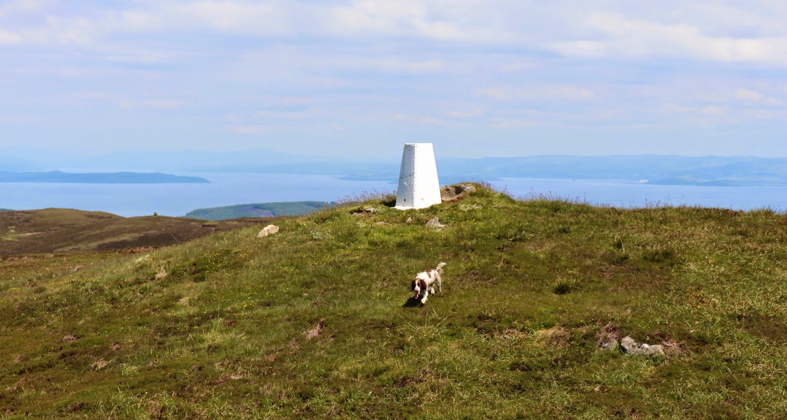
The path ended at the loch and after that it was just a case of ploughing across some rough heather moorland and crossing a few peat hags. I doubt if other than Marilyn baggers would venture further than the path end! However there was very little ascent left to do and around 15 minutes saw us at the top, where there was both a trig and a cairn. The trig looked marginally higher. It was certainly a clear day; I could see the coastline of Northern Ireland, Kintyre, Ailsa Craig, the Ayrshire coast with the Galloway hills beyond and of course Goatfell. Here are a few photographs....


So another unpromising looking lump of a hill had turned out to be a special viewpoint. It is however one to leave for a clear day. It took about 3 hours up and down and that included a generous amount of time sitting around at the top.
The Goatfell hills were still looking good when we got back to Brodick.....

1 comment:
Would never have thought of that hill Neil on a trip to Arran. Any highpoint over there though has its merits with views
Post a Comment