Saturday 30 May 2015

Mochrum Fell

30 May 2015

Participants: Neil and Ben
Where: Mochrum Fell, 317m/1,040', Sub-2k Marilyn, Map 77, NX 723750

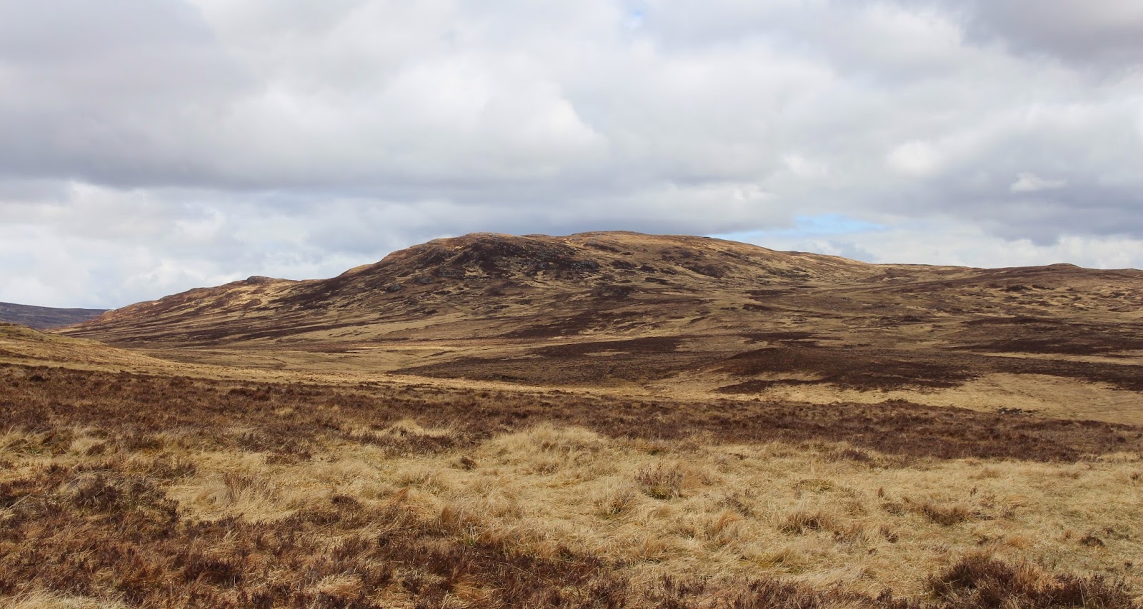
A road closure south of Dalmellington meant that a long drive was made even longer, so not a good start to the day. Mochrum Fell is a forested area and not all of the tracks are marked on the map so I also had a bit of faffing about trying to find the route on the ground. However, once I found out where I was it all went smoothly. I approached the hill from the south- from a narrow country road that left the main road at Parton, north of Castle Douglas. The track through the forest was very pleasant, this is my first view of the hill from it.....
 
 
At a junction, I turned right and almost immediately turned uphill on a forest ride. It was not too bad but should probably be avoided in the midge/tick/fly season. I could have avoided it by continuing on the track for a bit and then doubling back on another track but the ride was the easiest and shortest option. It brought me out at another junction and there, straight ahead, were the final slopes of my hill and even better, a rough 4WD track heading upwards.....
 
 
Mochrum Fell was completely forested until recently but the upper reaches have been felled. That's the good news, the bad news is that they have replanted so if you want to climb this hill, I suggest that you do it soon! The hillside was a bit of a mess with old branches and stumps but the rough track went to within 50m of the top so there was no bother.....
 
 
It was very pleasant on top with good views. Ben, the trig, and Corserine in the distance.....
 
 
the Galloway hills.....
 
 
Cairnsmore of Fleet.....
 
 
A pleasant short walk.
 

Wednesday 20 May 2015

Ben A'an (Trossachs)

20 May 2015
 
Participants: Neil and Ben
Where: Ben A'an, Trossachs
 
It was a sunny day and, unusually for this spring, it was also dry. I couldn't be bothered driving far so headed for the Trossachs and Ben A'an which I hadn't climbed for a year or two. The Forestry Commission are busy felling here and the normal path is closed until October. However, a temporary path has been put in which joins up with the usual route at the foot of the steep final slopes. However.....it was muddy and then some. Goodness knows what it will be like once the main tourist season starts and footfall increases substantially.
 
The new path climbs steeply to the west of the usual route. There were occasional glimpses of the summit cone of Ben A'an.....
 
 
and south to Ben Venue......
 
 
I had forgotten just how steep the upper slopes were but lots of stone steps had been put in and it wasn't too long until we reached the summit area from where there was a good view down Loch Katrine......


The actual summit is quite sharp and is on the edge of a considerable drop. I was a bit worried that Ben might see something interesting and head for the edge so we stayed on top only long enough to take a couple of photographs; again, down Loch Katrine......
 
 
and a zoom shot of the still snow covered Stobinian and Ben More........
 
 
Then it was back down to meet the mud!

Saturday 2 May 2015

Creag a'Mhadaidh

1 May 2015

Participants: Just me
Where: Creag a'Mhadaidh, 612m/2,008', Graham, Map 42, NN 634650

A day that started off bright and sunny soon clouded over and there were showers about although, apart from some gentle snowflakes while I was sitting at the summit, they stayed off until I was driving home. I had recently purchased the new SMC guide to the Grahams and decided to follow their recommended route to this rather remote hill mid-way between Loch Rannoch and Drumochter. So I parked at the start of the Right of Way track about a mile or so past Kinloch Rannoch.....


The track went through farm land and past a few ruins, all that remains of the settlement of Old Annat.....


and past a forest before emerging on to the moorland. My hill seemed an awful long way from here.....


There was a good view back to Schiehallion, still with a fair covering of snow on it.....


The path continued at a gentle incline past a small dam and up to the col between Creag a'Mhadaidh and it's westerly neighbour, Gualann Sheileach for which the map gives the same height but which I believe is in fact slightly the lower of the two. It was time to leave the track and head across the moor.....


As moorland crossings go, it was pretty benign and it didn't take too long to reach the ridge. The summit was only yards away marked with a substantial cairn for what I am guessing is not a heavily frequented hill. Loch Errochty is in the background.....


For a lot of the way up I had been looking at a fairly substantial hill with some decent snow patches on it and looking at the map I saw that it was Beinn Mholach, a Corbett. It is years since I climbed it and I can't remember the route, only that it was a long way.....


Creag a'Mhadaidh is a hill for those who like wide open spaces and distant views. The next nearest hills are Beinn Mholach and then to the north the Drumochter hills........


Sitting at the cairn I heard the distinctive sound of a Golden Plover; earlier in the day I had heard my first Cuckoo of the season, seen my first Wheatear and raised a Snipe. But I saw no other people, this is indeed another empty quarter. However, it is also close to the area where it is proposed to build the Talla a'Bhaigh windfarm, a desecration of wild land if ever I saw one.

The long way back, just as well there is a good track......


It took me 2 hours 50 minutes up and 5 hours 45 in total, for what was a very pleasant walk.