Tuesday 27 March 2018

Glen Lednock- Sgorr Racaineach, Crappich Hill and Am Binnein

25 March 2018

Participants: Just me
Where: Sgorr Racaineach, 404m/1325', P34, TuMP, OS 51, NN 755 244, Crappich Hill, 468m/1534', P38, TuMP, NN 748 248 and Am Binnein, 480m/1575', P41, TuMP, NN 744 252

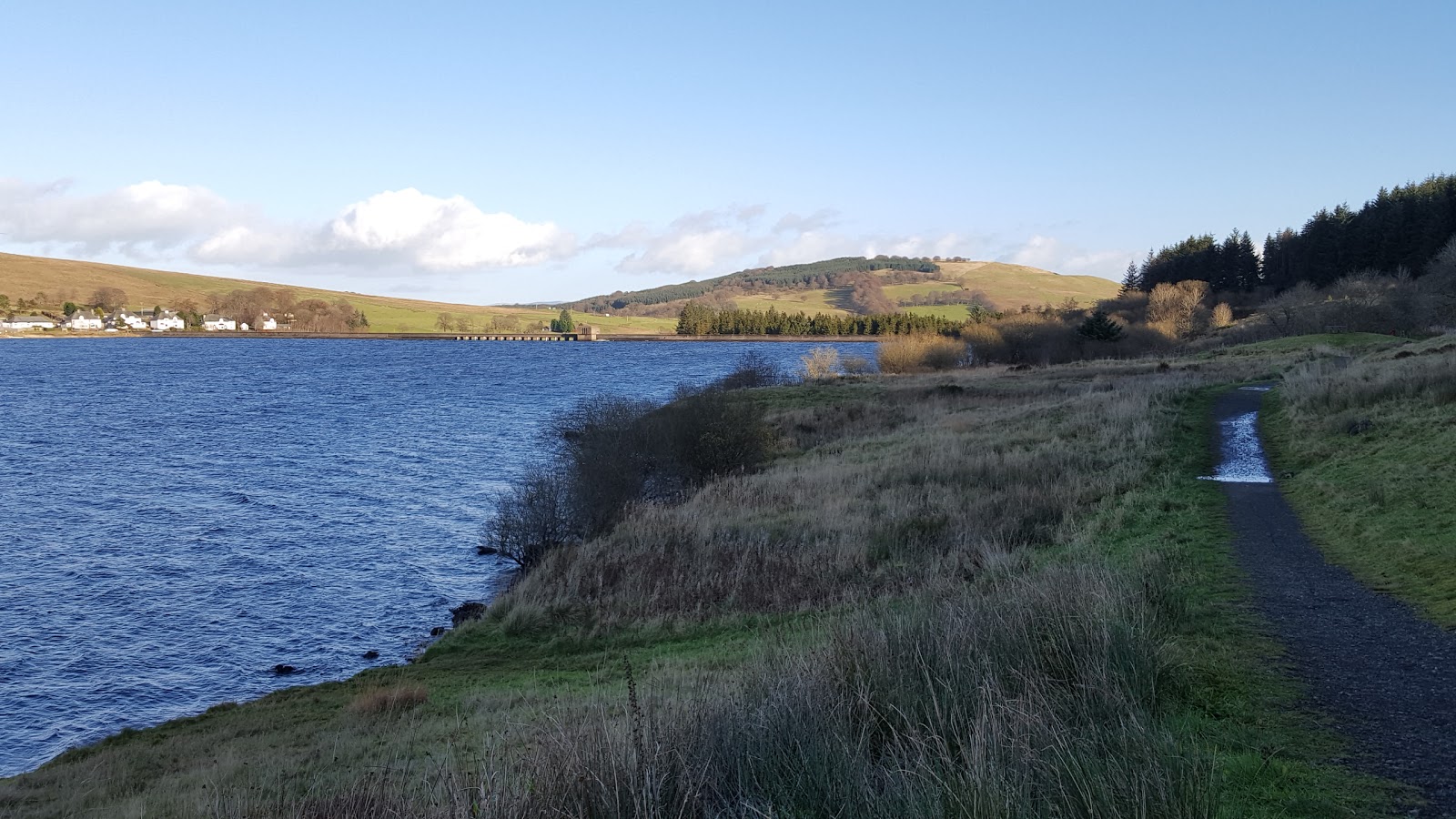
Glen Lednock, north of Comrie, is one of the closest "Highland" areas to where I stay. There are lots of smaller hills to explore and this ridge, in the south-west corner of the glen, looked really attractive when I saw it from Sir David Baird's monument hill walk last year. There was a fine view of it from the car window on the drive north.....

 
 A good track, only part of which was marked on my old map, ran from the parking spot at a farm entrance across the ridge then partly along the lower western slopes of the hills. It really helped, as these hills are rough with many rock outcrops and the more outflanking I could do the better. My first objective, Sgorr Racaineach- the right hand one of the two pictured- certainly looked a tempting hill when viewed from the starting point.....

 
 Across the glen, a snow covered Ben Chonzie was in view most of the walk. At points I could see down to the car park for it; it was full with other cars lining the verge on either side. A rough guess- 30 cars. I had my ridge to myself and probably got better views as the top of Chonzie was in cloud a lot of the time (feeling smug!).....

 
Sgorr Racaineach must get visitors however as it had a substantial cairn. The view south was to Ben Halton and Mor Bheinn with a snow covered Ben Vorlich beyond and Loch Earn in the distance.....

 
Crappich Hill was next......

 
I descended to the track again to avoid crags and then picked up a faint path which avoided the worst of the heather and which took me all the way to the metal pole that marked the highest point.....


There was a much better view of Ben Vorlich from here, the hills at the head of Loch Earn are the two Balquhidder Corbetts, Creag MacRanaich and Meall an t-Seallaidh......


The helpful path disappeared so it was a case of a bit of heather bashing to Am Binnein (the rounded top in the centre of the photo).....


The approach.....


Another view of Ben Vorlich.....


The lowest point in the ridge allowed a view down to Glen Lednock with the Corbett Creag Uchdag to the left and part of Ben Chonzie to the right.....


Ben Vorlich again.....


And a view back from Am Binnein over Crappich Hill to the lowlands. The atmosphere was clear, the Lomond Hills in central Fife are on the left with most of the Ochil Hills to the right.....
 
 
I dropped down the hillside to the south where I followed sheep tracks across the hillside to avoid having to reclimb some of the humps and bumps and picked up the track where it ended/started. A fine ridge and I guess that few people do it. 

Wednesday 21 March 2018

Rosneath Peninsula: Airlig and Clach MacKenny

20 March 2018

Participants: Neil and Ben
Where: Airlig, 198m/650', P31, TuMP, OS 56, NS 229 854 and Clach MacKenny, 202m/663', P70, OS 56, NS 240 836

The first day of spring and the weather was glorious. The Rosneath peninsula was new to me and if the forestry allowed, I reckoned that it should provide good views. I aimed to walk part of the spine, starting at the Peaton Hill community nature reserve car park and take in the TuMPs of Airlig and possibly Clach MacKenny. In fact, a lot of the forest had been cut down and where it hadn't been the ground was steep enough to allow views of the loch below. A good forestry track ran all the way so the walking was easy.

It was a steady climb of about a mile to Airlig, a really fine viewpoint above Loch Long with the Cowal hills beyond. No surprise that there were a couple of picnic tables beside the cairn......


It really was an all-round viewpoint, to the north, the easily recognised Arrochar Alps.....


The Luss hills, shame that Faslane gets in the picture.....


Across the Gare Loch to Helensburgh.....


Down the Clyde to Arran, Bute and Cumbrae and right in the centre of the picture in the far distance, Holy Island.....


I hadn't set out with the intention of climbing Clach MacKenny but it didn't look too far away- the summit is next to the phone mast in the distance and there was a good track all the way so it was really a no-brainer.....


The track dropped down into the forest but there were still clear areas and from one I spotted this......


Heading out on another mission no doubt, there was certainly a lot of activity including a helicopter buzzing overhead. It (the helicopter not the sub) came straight towards me at one point so I guess that there's a photo of me and Ben now somewhere in the MoD.

Ben at the summit of Clach MacKenny with Loch Long beyond.....


From here, you could see all the way up the Gare Loch; some size Faslane......


It was also a fabulous viewpoint for the Clyde looking at Rosneath and across the water Rhu and Helensburgh with Stronend and its neighbours north of the Campsie Fells distant left.....


Then it was about turn and follow the same route back. It really is an excellent area, off the beaten track but you need a good day, which this certainly was.

Thursday 1 March 2018

Dundaff Hill

21 February 2018
 
Participants: Just me
Where: Dundaff Hill, 352m/1155', P103, HuMP, OS 57, NS 735 845
 
One of our favourite walks in the Campsie Fells is along the shores of the Carron Valley Reservoir. I had often looked up at Dundaff Hill and wondered what the view from it was like. Today I decided to find out.....
 
 
I parked at a phone box pretty close to the start of the climb. Looking at the hill.....
 
 
There was a big flock of sheep in the initial field so I avoided them by going into a wooded area and crossing the field higher up.....
 
 
There was a lot of barbed wire about but fortunately gates at all the crossing points. The view back to the reservoir with Meikle Bin at its head soon opened up.....


I reached a wall which I followed to the summit area, which was ridden with tussocks. I reckoned that this was the highest point.....
 
 
There were a number of circular depressions in the ground. I had read that there were Bronze Age enclosures further down the hillside but these looked more likely to be the remains of some industrial activity.....
 
 
It was a bit hazy so the view to the east was restricted; this was the best I could do- a very faint outline of the Ochil hills on the horizon