Wednesday 18 February 2015

Kirkby Moor- Lowick High Common

17 February 2015

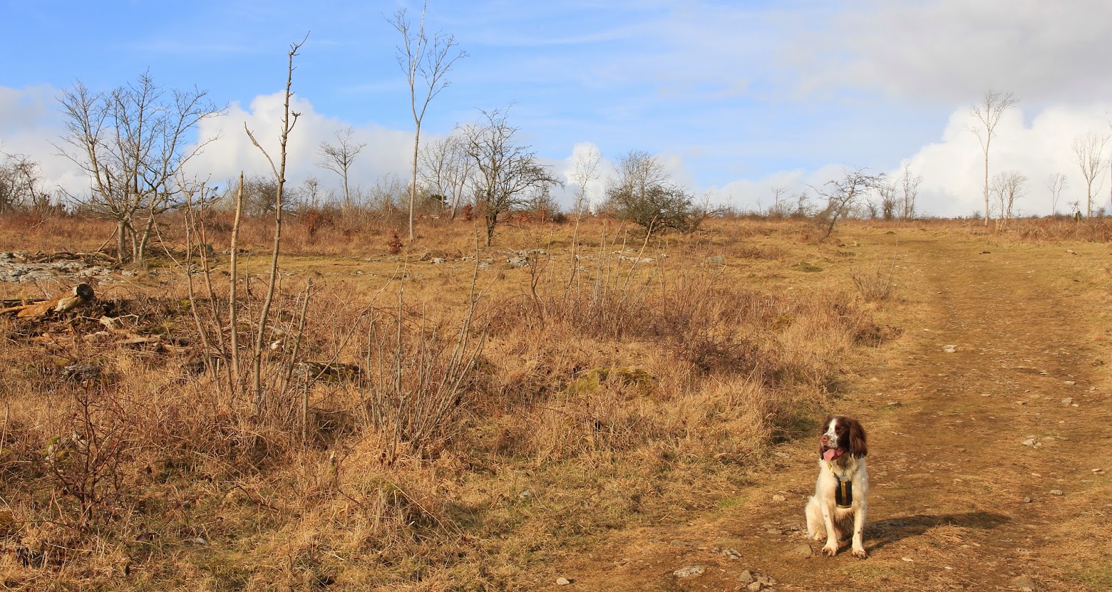
Participants: Neil and Ben, although Ben only had a short walk on the lower slopes, a herd of sheep was the problem this time.

Where: Kirkby Moor, Lowick High Common, 333m/1,092', Sub-2k Marilyn, Map 97, SD 260840

The final hill of the trip was the least interesting. As its name implies, it is high moorland, not made any better by the fact that there is both past and present quarrying activities on the lower slopes and a small wind farm high up. It looks like it is one of the earlier wind farms- the turbines are quite small and very noisy.

Starting point was a small car park just past Gawthwaite from where I could see the old quarry workings with one of the turbines behind.....


The path varied from4 WD track width to sheep track width but I knew from the map that the cairn was just past the first turbine at the edge of the old quarry workings so it was easy to find.....


The distant moorland looked higher but thankfully it wasn't......


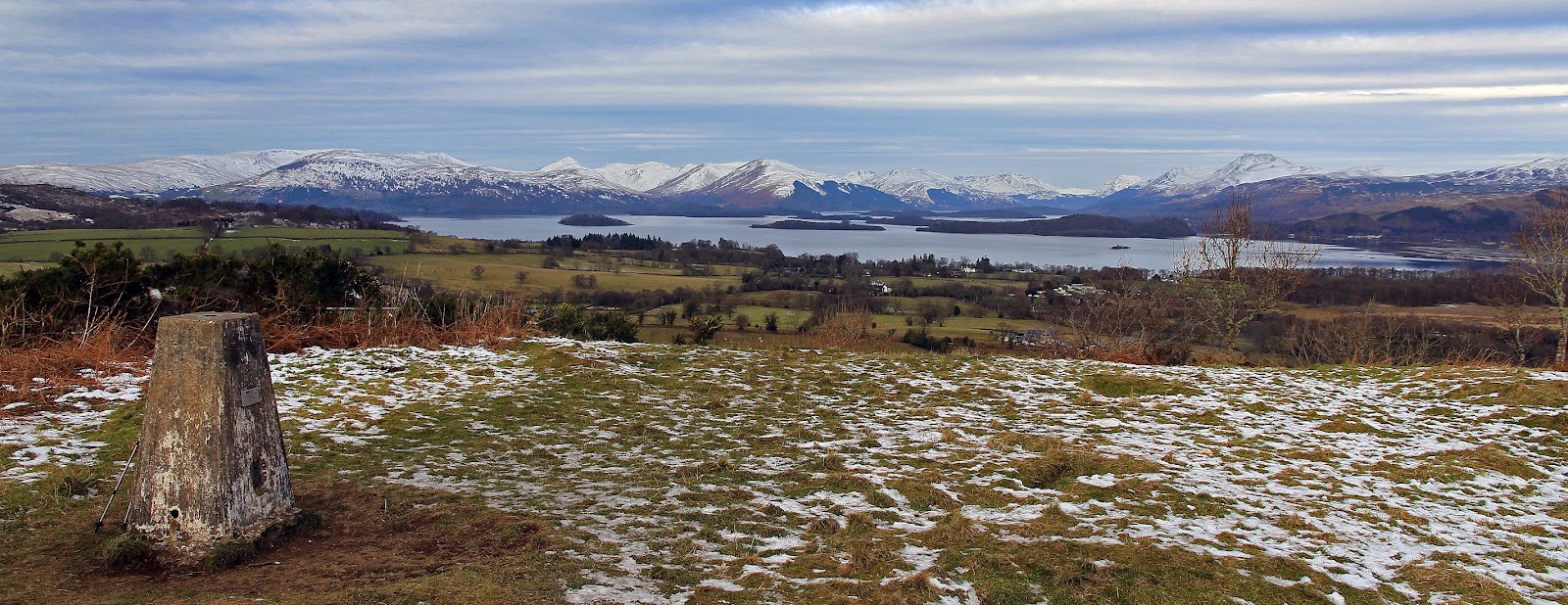
and the best of what view there was was towards Black Coombe further round the coast.....


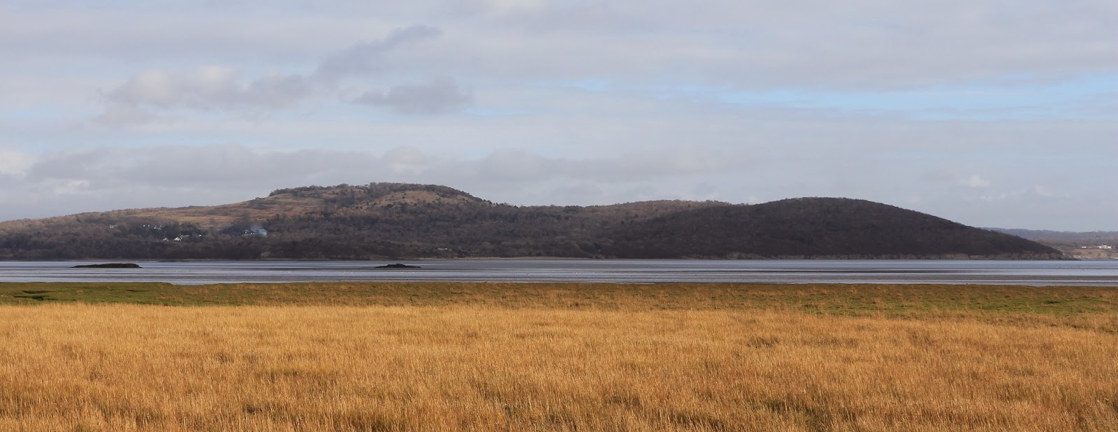
I was back at the car in 50 minutes after which I went to have a look round Grange- over- Sands- a very genteel wee town in a great situation on Morecambe Bay.

The next day it was raining so we went home.

Whitbarrow, Lord's Seat

17 February 2015

Participants: Neil and Ben, though Ben didn't make the summit.
Where: Whitbarrow, Lord's Seat, 215m/706', Sub-2k Marilyn, Map 97, SD 441870
 
The second day of the trip was even cloudier than the first, although it again stayed dry. Two more hills were on the agenda. The first, Whitbarrow, was another limestone escarpment, situated just off the A590 road to Barrow in Furness.....
 

The starting point was a small car park at the entrance to Witherslack Hall school, a couple of miles drive up some narrow roads.....


Not long after the start, the path went through a tight barbed wire fence by means of a narrow wooden style. No way was I getting Ben over that so it was back to the car for him! The path went round the edge of the school's football pitches.....


before climbing steeply through some scrub land and passing areas of limestone boulders. I was quite glad that Ben wasn't there as the path was narrow and the drops were quite big. Eventually, the path reached a wall and another style after which it levelled out a bit before heading over the plateau towards the top of the escarpment.....


It was easy to see the direction that the prevailing wind came from!


I could see the cairn on the horizon but got a surprise when I reached it.....


Just as well Ben wasn't there, he hasn't met cows before and I don't know how he would react. I am sure that this must be a great view point on a good day but that was not today as the distant high Lakeland peaks were covered in clag.  Even at this modest height it was cold and breezy- well, it was February after all- so after a couple of photographs I went back down.....


1 hour 15 minutes for this one and I would do it again on a better day; I think that a walk taking in the whole length of the escarpment must be a good outing.

Hutton Roof Crags

16 February 2015

Participants: Neil and Ben
Where: Hutton Roof Crags, 274m/899', Sub-2k Marilyn, Map 97, SD 556775

 
It was only a short drive from Arnside to my next hill, Hutton Roof Crags, situated near the village of Burton- in- Kendal on the other side of the M6 motorway. The starting point was a large car park on the south side of the hill from where a path went all the way to the top. I was really looking forward to this one as it reputedly had some of the best limestone pavements in the area. The path went up at a gentle angle through some rough scrub land and limestone boulders.....


Higher up, and just before the path went through a wall (where there was a handy gate) I reached the area of pavements. They were really impressive although I read somewhere that they were not as extensive as they once were having been broken up and removed to be used in walls, buildings etc., something that is now prohibited.....


Back home, I looked up Wikipedia for information on how the pavements were formed. The explanation was "Conditions for limestone pavements are created when an advancing glacier scrapes away overburden and exposes horizontally-bedded limestone, with subsequent glacial retreat leaving behind a flat, bare surface. Limestone is slightly soluble in water and especially in acid rain, so corrosive drainage along joints and cracks in the limestone can produce slabs called "clints" isolated by deep fissures called "grikes" or "grykes", terms derived from the North of England dialect. If the grykes are fairly straight and the clints are uniform in size, the resemblance to man-made paving stones is striking, but often they are less regular. Limestone pavements that develop beneath a mantle of topsoil usually exhibit more rounded forms."

Through the gate and we were almost at the top. We were now above the pavements and the scrub.....


and were soon at the trig, which is not quite the highest point.....


Distant views were a bit hazy, this is looking south to Ingleborough, one of the Yorkshire three peaks and another on my "to do" list.....


On the way up, I had noticed some tell tale signs that cows were grazing here and sure enough, I spotted them on the way down. They were lying down and we sneaked past without Ben noticing.

A really interesting hill.

.

Arnside Knott

16 February 2015

Participants: Neil and Ben
Where: Arnside Knott, 159m, Sub-2k Marilyn, Map 97, SD 456774

The area to the south of the Lake District had been on my list of places to see for a while and the forecast of a couple of dry days before a period of wet and windy weather was too good to miss. This is limestone country and I particularly wanted to see the pavements that can be found on many of the hills in this area. Limestone was laid down during the Carboniferous period some 350 million years ago and is a hard, rough rock.
 
My first hill of the trip was the lowest sub-2k Marilyn in England, Arnside Knott, which I photographed on the approach and then again the next day from Grange over Sands on the opposite side of Morecambe Bay.....


It is a family friendly hill with a car park at its foot at the end of a rough road/track and plenty of paths leading to the top. There is not really a lot to say about it; there are a lot of bushes and trees that restrict the view and the fact that it was a cloudy day didn't help. The best of the view was across the bay towards Grange. I suspect that on a clear, blue sky day, there will be a good view but today, I only took a few pictures; the path up, the trig at the summit area, and the view towards Grange.....


I wandered about for a bit along some of the paths but even so, I was back at the car in an hour. If you were just on a quick bagging expedition, this one could be ticked off in 20 minutes!


Sunday 8 February 2015

Hill of Garvock and the Arbroath Cliffs

8 February 2015

Participants: Just me.
Where: Hill of Garvock, 277m/910', Sub-2k Marilyn, Map 45, NO 726 692

The forecast was best for the east so I decided on a trip back to Angus, the county of my birth. The ulterior motive was Hill of Garvock, which stands to the south of Laurencekirk. This is prime farming country and the cows that graze on this hill have a fearsome reputation. I suspected that they would not yet have been put back out on the grass although that time could not be far off. So I needed to get my skates on if I wanted to bag this hill this year.
 
My parents stayed in Laurencekirk for a couple of years but to my knowledge I hadn't climbed the hill when I visited them. So it was a new sub-2k for me. It must be one of the easiest; there is a car park at the highest point of the road that runs from Laurencekirk over to St Cyrus and the summit is just a stroll from there across a few fields. And the cow were absent! This is looking back towards the car park from the summit......
 

Hill of Garvock is notable for the tower or folly on its summit- the Johnston tower. It was built in 1812 by James Farquhar of Johnston  to commemorate victory over Napoleon in the Peninsula Wars with materials left over from the building of his mansion house. It appears to have been built on top of an earlier cairn or alternatively a large cairn has been built around it. Whatever, it is a striking building. It was open, but pitch dark inside. I didn't have a torch and wasn't willing to risk the climb as I knew that the top step was missing.....


The atmosphere was really clear so I got a great view from the ridge, This is looking north to Hill of Wirren......
 
 
and this is over Laurencekirk to the eastern Grampians.....
 
 
That walk only took an hour so I had lots of time to go and see something else. I decided to go over to Arbroath and have a walk along the cliff path. The sandstone has weathered into some amazing shapes and todays bright sunlight showed off the colours to best effect. Here are a few photos.....


Wednesday 4 February 2015

Duncryne

4 February 2015

Participants: Neil and Ben
Where: Duncryne, 142m/465'

This one goes into the folder titled "Humps, Tumps and Bumps", small hills that are not in the main bagging lists but are notable in some other respect, usually for being superb viewpoints.

Duncryne is the small volcanic plug that overlooks the village of Gartocharn on the south shores of Loch Lomond and is well known for providing an unequalled vista of the southern part of the loch and its islands. It is also famous as the hill that Tom Weir climbed most days and it features in a lot of his writings.

I was expecting a sunny day but got a mostly bright one instead; there was a layer of high cloud to the north so my photos were not as good as I had hoped. Not to worry, I pass the hill regularly on my trips to the hills of the west and it is only a matter of minutes to climb. There is space to park at its foot and a path up. Sign at start, John Groome was a local man who voluntarily looked after the hill for many years and who lived to the great age of 101.....


On the path up.....


Looking south to Earls Seat in the Campsies from part way up.....


And again from the summit.....


A panorama of the Luss hills round to Ben Lomond.....


Luss hills and Ben Lomond.....


Close up of the Luss hills.....


There was still lots of time in the day so I drove round to Balloch for a walk in the Country Park then on to the tourist monstrosity that is Loch Lomond Shores where I had a plate of soup. Nothing to beat a hard day on the Scottish hills!