Tuesday, 30 April 2024

Tumping around Oban-2 (Seil Island)

 22 April 2024

Where: Barr Mor (Seil Island), 100m/328', P 79m, Tump, OS 55, NM 754 160

I drove to Seil Island crossing the Bridge over the Atlantic, took the road to Cuan, and parked in the car park at Kilbrandon church. A gate led to the track that went past Barr Mor to the Ellenabeich road. Approaching Barr Mor.....

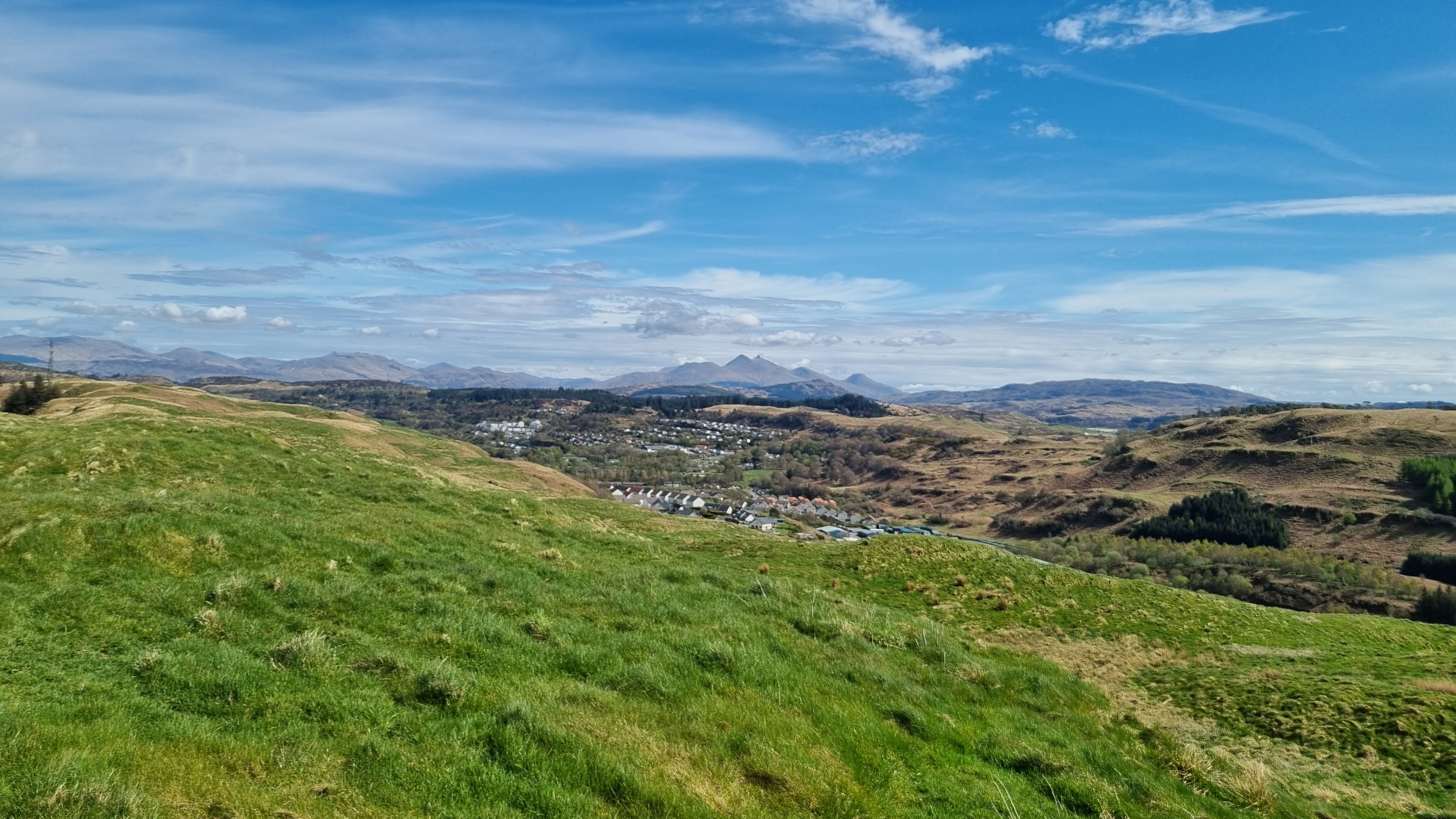
It was another good viewpoint. Looking north to Ellenabeich and Easdale Island.....


Looking south to Scarba, Lunga and various other smaller islands.....

I returned the same way and spent some time in Ellenabeich. There is an interesting museum of island life there with lots of artifacts to see.


Monday, 29 April 2024

Tumping around Oban-1 (Gallanach and Connel)

 21 April 2024

Where: Druim Mor (Gallanach), 137m/449', P 88m, Tump. OS 49, NM 841 282 and Dun Clachach (Connel), 78m/256', P32m, Tump, OS 49, NM 905 385

Good weather had arrived in the west of Scotland so it was off to Oban to do some hills before the midges arrived. I drove straight to Gallanach just to the south of Oban where I had one hill still to do. I drove past the Kerrera ferry terminal up the the high point of the road where there was a good parking area beside a building and where a good track started up the hill (and went all the way to Oban). On the track with Druim Mor ahead..... 

I branched off the track steeply up the hill at an obvious point and was soon on the unmarked top. It was a fine viewpoint as expected. Looking towards Oban, the Etive hills and Ben Cruachan distant.....


Over Kerrera, the hills of Mull beyond.....

Over north Kerrera with the Ardgour hills beyond.....

South down the Sound of Kerrera.....

Me with Kerrera and Mull beyond.....

It was still early so I decided to head for Connel to bag Dun Clachach. There was again plenty of parking at the start of a track which went as far as Connel loch before taking to the hillside. There were two tops with the Tump being the furthest away.....

West to Ardgour and Mull.....

East to Ben Cruachan.....


Connel bridge and Beinn Lora.....

A good start to the trip.


Monday, 1 April 2024

Forside Hill and Knock Leaven (Abington)

 31 March 2024

Where: Forside Hill, 376m/1,234', P 117m, Hump, OS 71/72, NS 919267 and Knock Leaven, 345m/1,135', P 55m, Tump, OS 71/72, NS 908260

Back down the M74 again on a very pleasant Easter Sunday to climb these hills which sit opposite each on either side of the motorway. I approached them from a minor road to the south. 

I parked a few hundred metres east of the motorway for Forside Hill. I had passed this impressive looking hill many times and thought that it must be a good viewpoint. The route was more or less straight up, through sheep fields initially and then up grassy slopes with some heather patches. Gates in all the right places. Approaching the trig.....

It was indeed a good viewpoint. Looking east to Tinto.....


Looking south to Tewsgill Hill and the Clyde wind farm.....

Looking south west down the M74.....

and west to Knock Leaven from lower down.....

I shifted the car to the other side of the motorway to a layby at the foot of a small plantation. The first field was a bit muddy but then it was easy grassy slopes. The high point wasn't marked on the ground. Looking to Forside Hill on the ascent.....

From the summit there was a fine view to Tinto and Dungavel Hill and of course Forside Hill....

South to Tewsgill Hill and the wind farm.....

There were more turbines to the north.....

I returned by the same route taking another photo of the southwards view but this time through the trees.....

Two very pleasant hills with easy ascents and fine views.


Monday, 25 March 2024

Beinn Leabhainn (Glen Ogle)

 24 March 2024

Where: Beinn Leabhainn, 709m/2326', P 41m, Tump, OS 51, NN 576 283

Good weather days have been few and far between this year but when another came along I decided that it was time for a Highland hill. I had climbed the Graham, Meall Buidhe, overlooking Glen Ogle a few years ago and before I had heard of Tumps; Beinn Leabhainn shares the same approach track initially but of course I had not given it a second thought when I previously visited.

I parked in the car park at the head of the Glen and followed the excellent track that zig zags up the hillside to a communications mast. Initially this is through a forest but there were occasional breaks providing a view across the Glen to Creag Mac Ranaich.....


Once above the trees the same view opened up.....

and shortly afterwards Ben More and Stobinian came into view.....


The going was OK once I left the track, this is looking towards the summit.....

I headed north of the summit to enjoy the views from the ridge, a good choice. The views north beyond Loch Tay to the Tarmachan and Lawers hills were excellent.....


Approaching the summit, Ben Vorlich and Stuc a'Chroin came into view.....


This is these two hills seen over Meall Buidhe....

and a view in the other direction to Ben More and Stobinian with Beinn Dubhcraig, Ben Lui and Beinn Chuirn to their right....

Beinn Leabhainn is a much better viewpoint than its higher neighbour and well worth adding on to it if you are bagging Grahams.

Tuesday, 19 March 2024

Tewsgill Hill (Abington)

 18 March 2024

Where: Tewsgill Hill, 569m/1,867', P 106m, Tump, OS 72, NS 961 238

A fine early spring day. I parked at the Raggengill Burn on the opposite side of the railway from the houses at Abington where there was space for a few cars and took the route of the old Roman Road. It was a nice walk through the glen of the Raggengill burn with views back to Abington.....


After a time and passing its west top Tewsgill Hill came into view (distant).....


I left the Roman Road where it took a right turn and followed one of a number of sheep and faint ATV tracks up the slopes of Tewsgill Hill roughly paralleling a fine stone wall which went all the way from where I left the car to the summit (and beyond by the looks of things).....


Looking back to Raggengill Hill with the Lowther Hills distant from the slopes of Tewsgill Hill.....

Abington from the slopes of Tewsgill Hill.....

It was a longer walk up the hill slopes than it looked from a distance but eventually the trig came into view with the turbines of the Clyde wind farm beyond.....

It was a bit breezy at the summit; Camps reservoir in the distance.....

Looking east to the Culter hills.....

Looking to Tinto.....

South over Crawford, Lowther Hill with a cloud top.....

Descent was mainly by the same route. Fine and easy walking country.