Thursday, 31 August 2023

Black Hill (near Abington)

 30 August 2023

Where: Black Hill, 383m/1,258', P 100m, Hump, OS 71/72, NS 904 243

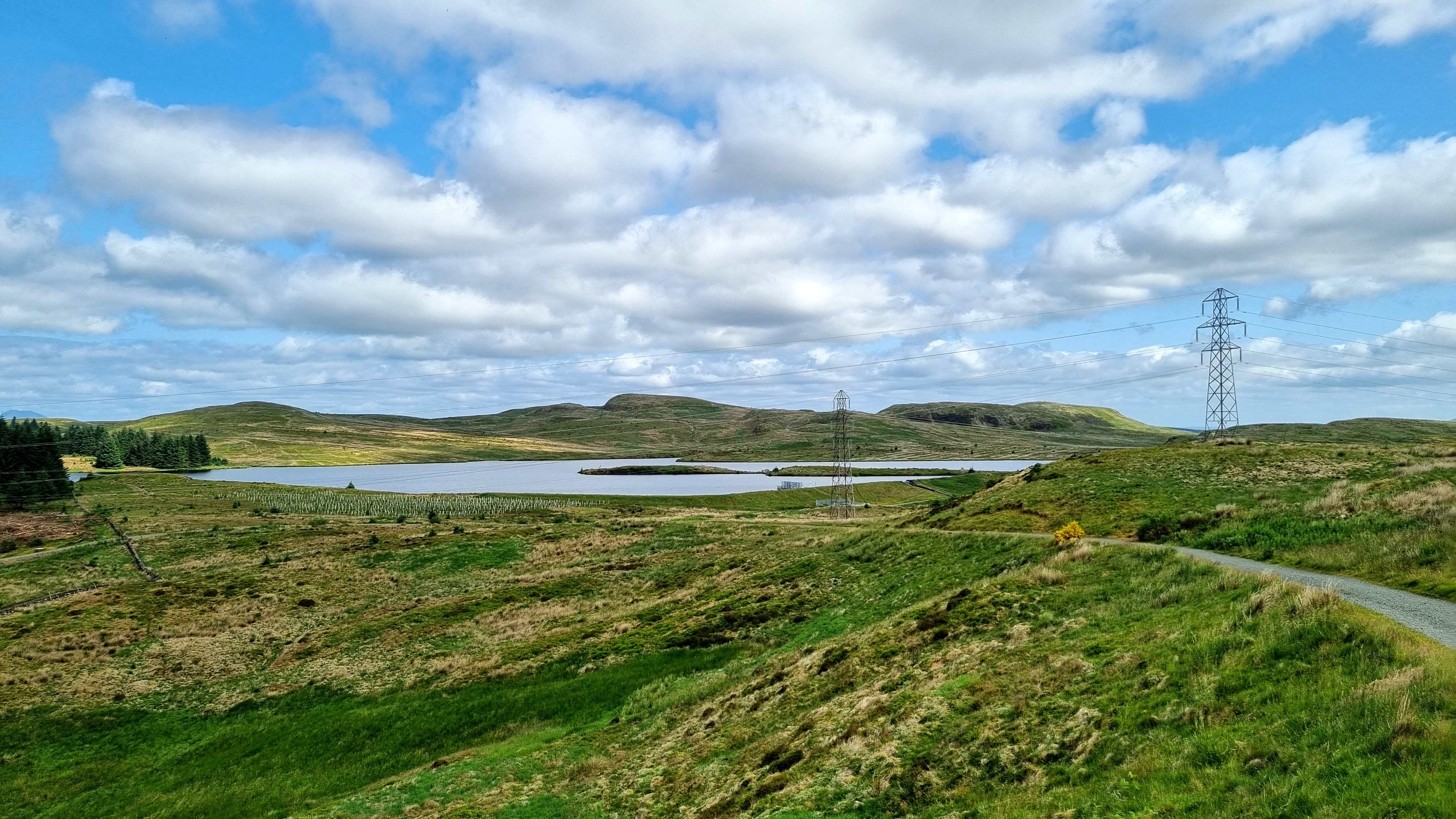
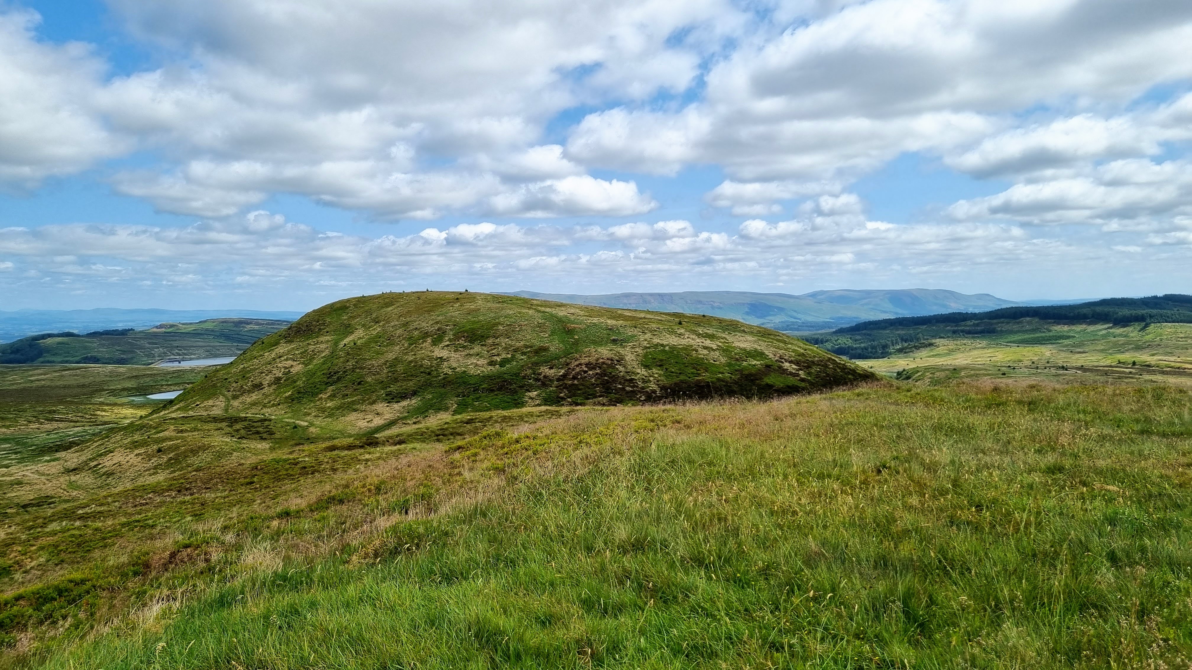
The weather had changed for the better as autumn approached. I decided on a short walk and drove down towards Abington, taking the old road as I got south and parked up opposite the house at Strand where there was space for a couple of cars. I climbed a gate onto the hillside and followed a track and then sheep trods to the small pile of stones that marked the summit. It was a gentle ascent. Fine open views as I got higher. Tinto dominated the eastern view......


Lots of wind farms, looking towards Crawfordjohn....

Looking south east, the M73 was in view in this direction and I could hear the noise of the traffic......


Thursday, 24 August 2023

Bizzyberry Hill (Biggar)

 24 August 2023

Where: Bizzyberry Hill, 363m/ 1,191', P 112m, Hump, OS 72, NT 047 393

Visibility is at its best after rain and today was a great example. It had rained overnight but had cleared by the time I set off for Biggar to climb Bizzyberry Hill. I parked in the town and walked to its east end where there was a signposted path to the hill. This went all the way to the summit through a couple of fields and a steep finish up the front of the hill itself. Part way up there is an information board which provided all that I needed to know about the hill.....

I stopped a few times on the way up to admire the view behind me. Culter Fell and then Tinto,,,,,


Soon my hill came into view.....

and the path narrowed and went through a couple of fields. As this is a Core Path there were pedestrian gates through the fences. Leaving the fields behind the path narrowed considerably and got a great deal steeper as it passed through an area of gorse. It was back on the grass above the steep bit and the summit was in sight. Just before I got there, I passed this stone, handy if you've forgotten where you are! Tinto beyond.....

Strange that it is not on the summit which is a bit further on, on land which clearly belongs to someone else as there is a barbed wire fence to get past. Here I went slightly down hill to the north where there was a gate (but no pedestrian gate). There was another good view of Tinto from here.....

The views from the summit were superb. No wonder the Iron Age people built a fort here. To the east the Broughton Hills.....

To the south Biggar and the Culter Hills.....

and to the west Biggar and Tinto.....

An excellent hill seen at its best.


Saturday, 12 August 2023

Blake Muir

8 August 2023

Where: Blake Muir, 467m/1,532', P 34m, Tump, OS 73, NT 302 306

 It was more like a day in May than in August when I parked in the large car park next to Traquair church south of Innerleithen. Occasional showers were forecast but for the most part it remained dry and very clear. The route of the Southern Upland Way left the road next to the car park and climbed gently passing very close to the high point of Blake Muir. With stiles over all of the fences, it was a delightful uncomplicated walk with good views, one of the best that I had had this year. The track started steeply but I was soon out on the moor with my intended summit looking a long way in the distance (it was in fact less than 3 miles away).  The target was the pointed hill to the left centre in the second photo.....


Getting a bit closer.....


The eastern ridge of the Peebles-Dun Rig horseshoe was on my right hand side as I ascended.....

There were good views back to Innerleithen and I took a number of photos as I got higher.....


and looking east to the Minch Moor, a hill that I had climbed a number of times.....

The heather was in full bloom; really colourful this year.....

It was quite cold near the top and I had to stop to put on my jacket. The SUW ran between the two tops of Blake Muir, the higher was to the east and sported a small cairn which was actually about 30m north of the actual high point.....

Another excellent Tumping day out!


Sunday, 30 July 2023

Castlelaw Hill (Pentlands)

 28 July 2023

Where: Castlelaw Hill, 488m/1,601', P 81m, Tump, OS 66, NT 224 647

The only hill in the most popular area of the Pentland range that I had not previously climbed. I parked at Castlelaw which gained me some height. It is also the car park for Castlelaw Fort and its Souterrain which I had a look at when I had finished my walk. Castlelaw Hill from close to the start.....

Looking to Turnhouse Hill and Glencorse reservoir.....

It was a nice clear day after early rain. This is the view south to the hills north of  Peebles from the track.....

Caerketton from the track.....

The track wound up the east side of the hill and then turned sharply in a west/south-west direction and steepened considerably. The steep part was relatively short and I was soon at the summit which had a number of flag poles and other stuff on it.....

It was a fine viewpoint for the hills surrounding Glencorse reserve and further west Loganlea reservoir- Turnhouse Hill, Carnethy Hill, Scald Law, The Kips, Black Hill, Bell's Hill with East and West Cairn Hills in the distance.....

Looking south from the summit.....

Allermuir Hill and Caerketton Hill from just below the summit on the way back.....


The extensive Castlelaw was well seen from the track on the way back. It consists of three concentric rings of ramparts and ditches surrounding a low foothill and was home to an Iron Age community for some centuries. An earth house was built into the middle ditch and consists of a passageway and a chamber. It was probably used for storage purposes. Really interesting.....


Saturday, 22 July 2023

Scurr Hill (Balmerino)

 21 July 2023

Where: Scurr Hill, 104m/341', P 43m, Tump, OS 54/59, OS 368 251

July is never a good hill walking month for me, there is usually a lot of humid weather which doesn't suit me and this July was no different. However today was nice, cool with only a small chance of a shower so I decided to bag another hill on my list- Scurr Hill at Balmerino on the south side of the Tay more or less opposite Dundee, seen here from the west.....

I parked at the ruined Balmerino Abbey and walked down to the shore path, following it east until I found a rough path heading up the hill (just before leaving the forest area). Looking up the river from the shore path.....

Being mid- summer, the vegetation was high and the views across the river from the path were only fleeting.....


The hillside was all thick grass, bushes and nettles (another reason not to climb hills in summer) so I was pleased to see that the path up the hill was distinct.....

Looking back down the path to the river and across to Dundee.....

Once on the ridge, there were a number of paths to choose from and the trees were well spaced. The summit was a bit indistinct but I reckoned that it was beside some boulders. It was also right at the edge of the trees and there was a great view west up the river.....


I returned by the same route and back at the car had a look at the ruined Abbey which was a bit unkempt.....

An excellent day out.

Friday, 23 June 2023

Kilpatrick Braes: Middle Duncolm and Fynloch Hill

 22 June 2023

Where: Middle Duncolm, 393m/1,289', P 30m, Tump, OS 64, NS 467 771 and Fynloch Hill, 400m/1,312', P 46m, Tump, OS 64, NS 461 770

The very high temperatures and humidity which we had been enduring recently had eased slightly so I decided to do two of the Kilpatrick Hills Tumps which I had not yet done. I parked in Old Kilpatrick and followed the road/track up to Loch Humphrey, a bit of a slog if I am to be honest. It does however provide excellent views down to the Erskine bridge and Glasgow/Paisley and down the Clyde towards Greenock and the Cowal hills beyond. I took photos both on the way up and when I was coming back down.....


After passing the loch, the track becomes a good path and the hills come into view.....


I went to Middle Duncolm first, confirming as I did that when I climbed the Marilyn, Duncolm, many years ago, I had not climbed this one en route. The high point is unmarked and there was a view of the highland hills from it.....

Duncolm from Middle Duncolm.....

Fynloch Hill was close by and I found a path on it, albeit on the way down.....

This insignificant hill was a much better viewpoint. Looking over the Fyn Loch to Loch Lomond and the Munros/Corbetts of the Southern Highlands.....

East over Duncolm to the Campsie Fells.....

The day had warmed up considerably and I was starting to struggle, albeit it was mostly downhill now. I have had a sore back for a few weeks and that was affecting my legs. I was very glad to get back to the car park in Old Kilpatrick. Another visit to the physio coming up I think.