Participants - Just me
Where - Carn an Tuirc, 1,019m/3,343', Munro; Cairn of Claise, 1,064m/3,491', Munro; Glas Maol, 1,068m/3,504', Munro; Map 43
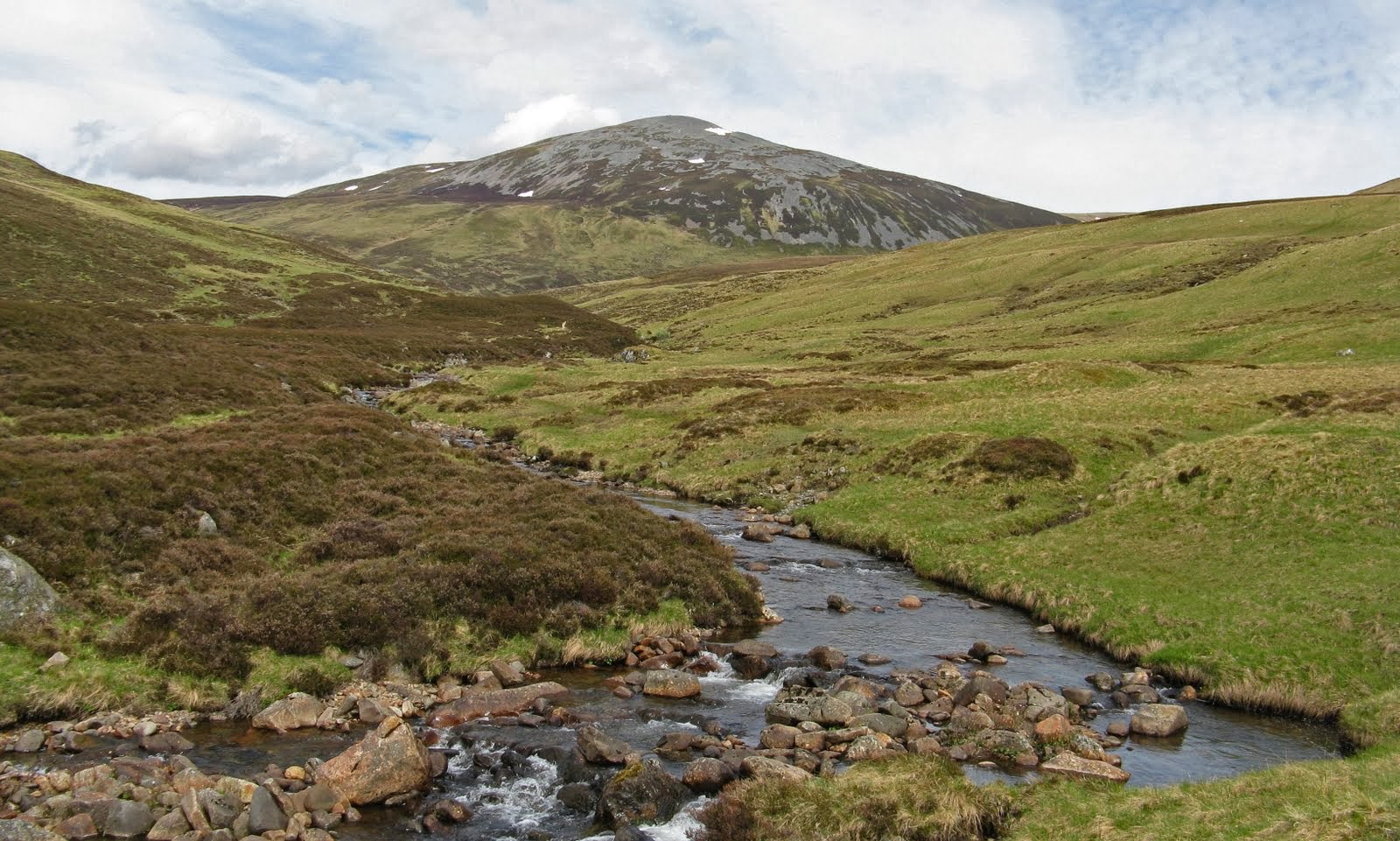
A change of scene today- I was off to walk three of the big Munros on the eastern side of the Cairnwell road. I parked about a mile past the Cairnwell ski centre at the start of a path that followed a burn up a glen straight to the foot of Carn an Tuirc, hill of the boar.....
The best of the views at this point were behind me- especially to the Cairnwell and Carn Aosda.....

This was the steepest climb of the day and I followed grassy tongues in order to avoid as much of the awkward boulder field as possible. It was a hot day and I was glad when the summit cairns came into view. I really must cut down on the amount of stuff that I carry in my rucsack! There was a good view from here to the Cairngorms, still with large amounts of snow on them, unusual for the time of year.....

From Carn an Tuirc, I took a slight diversion to have a look at Coire Kander, an unexpected feature in an otherwise vast grassy tableland.....

Cairn of Claise from here was simply a walk up a gradual grass/moss slope spoilt by an unsightly track that has been carved out here.....

It was bouldery again at the summit and there was also the remains of a wall, apparently built to mark an old county boundary. This is the summit cairn with my final Munro of the day, Glas Maol beyond.....

There were a number of tracks criss-crossing the plateau but mine continued to the foot of Glas Maol from where I found a footpath developing that took me straight to the cairn.....

Glas Maol was the highest point of the day. On previous visits, I have carried on to the Cairnwell road from here but it is more than a bit messy with ski lifts, tows, buildings and fences, so today I decided to miss all that out and reversed my steps to the lowest point between Glas Maol and Cairn of Claise. From there, I descended to the north via a ridge that ended at the rocky top of Sron na Gaoithe. The path along this ridge is part of one of the old rights of way across the Mounth, the Monega Road, which runs from the Braemar road to Glen Isla. Here is a view of Cairn of Claise from the descent of Glas Maol- it looks more like a hill from here.....

There was a good view back to Glas Maol from the ridge.....

which took me down to a newish bridge across the burn just below the car park. There wasn't much notable in the way of wildlife during the day- lots of hares and a single Golden Plover, that was about it. Stats for the day were a walk of about 9 miles with around 830m of ascent. It took me 5 1/2 hours.
No comments:
Post a Comment