24 June 2018
Participants: Just me, it was too hot to take Ben
Where: Myreton Hill, 387m/1,270', P49, TuMP, OS 58, NS 859982
It was a very hot day and I reckoned- correctly as it turned out- that I wouldn't find water on the hill so Ben was left at home. Although only rated as a Tump due to the lack of height drop between it and higher neighbours to the north, you have to make every metre of it's 387 if starting from Menstrie. The Ochils are steep on their southern flank!

There are a lot of new tracks about here and thousands of trees have been planted. The Ochils will soon look entirely different to what we have been used to up to now. As expected, the track was steep although zigzags helped. At the highest point and where a new fence cut across the hillside, I left the track and headed up the west slopes of Myreton Hill. There was a faint path alongside the fence and it didn't take long to reach the highest point, a grassy mound. The best viewpoint however was at a cairn on the other side of an old wall on the edge of the steep southern escarpment. A few photographs.....
Looking west from the high point, Ben Lomond, Ben Ledi, Stuc a'Chroin and Ben Vorlich visible......

Dumyat, the Wallace Monument and the Campsie Fells.....

The higher Ochils to the north.....

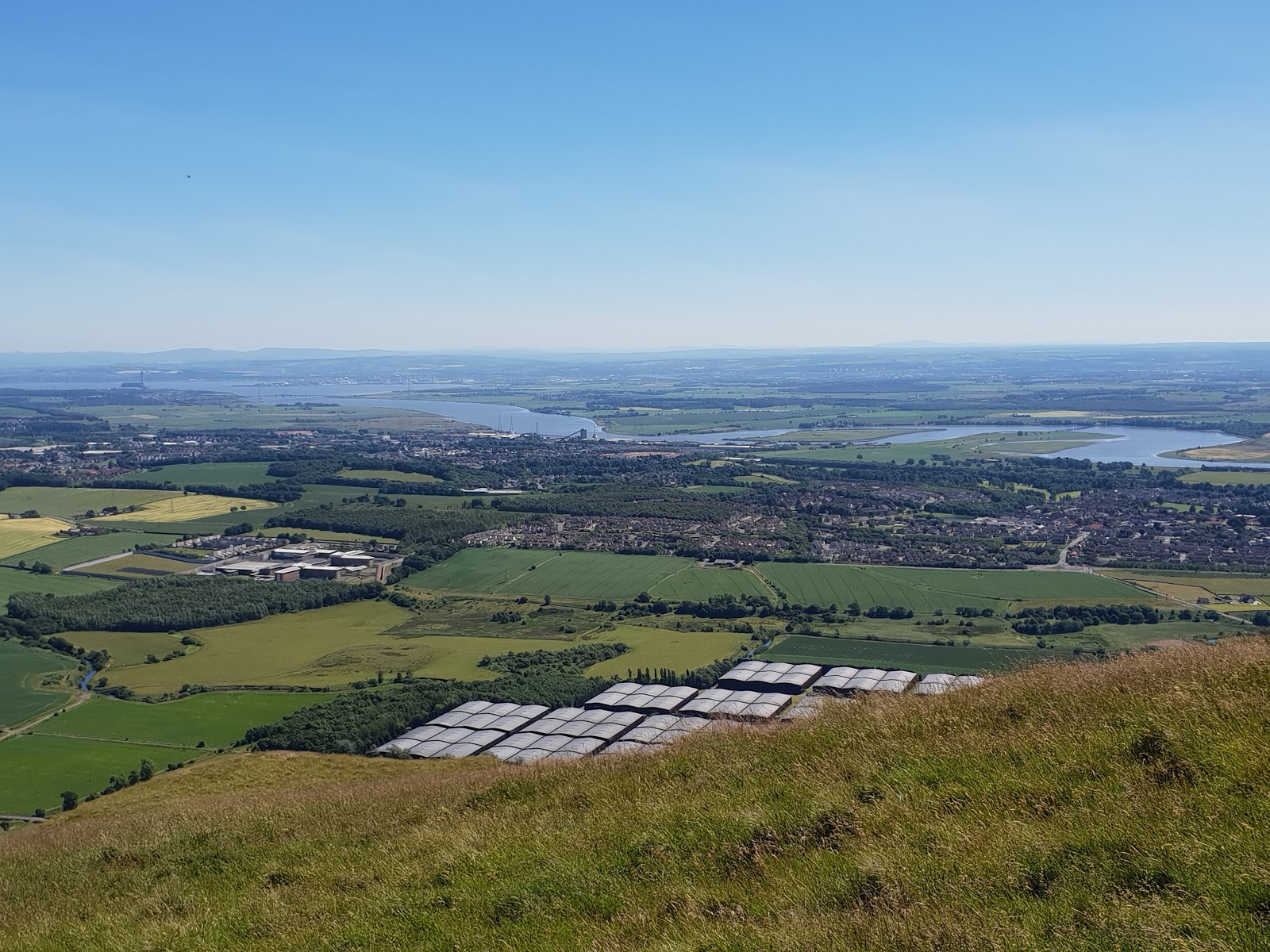
Looking down the escarpment to Alva. Knock Hill and Saline Hill centre distance.....

Across the Forth, Tinto just to the right of centre.....
A fine walk and one that I think I will do again, perhaps in winter.
No comments:
Post a Comment