Saturday 27 August 2022

Creag an Lochain (Tarmachan)

 27 August 2022

Participants: Just me

Where: Creag an Lochain, 840m/2,757', P 48m, Tump, OS 51, NN 590 402

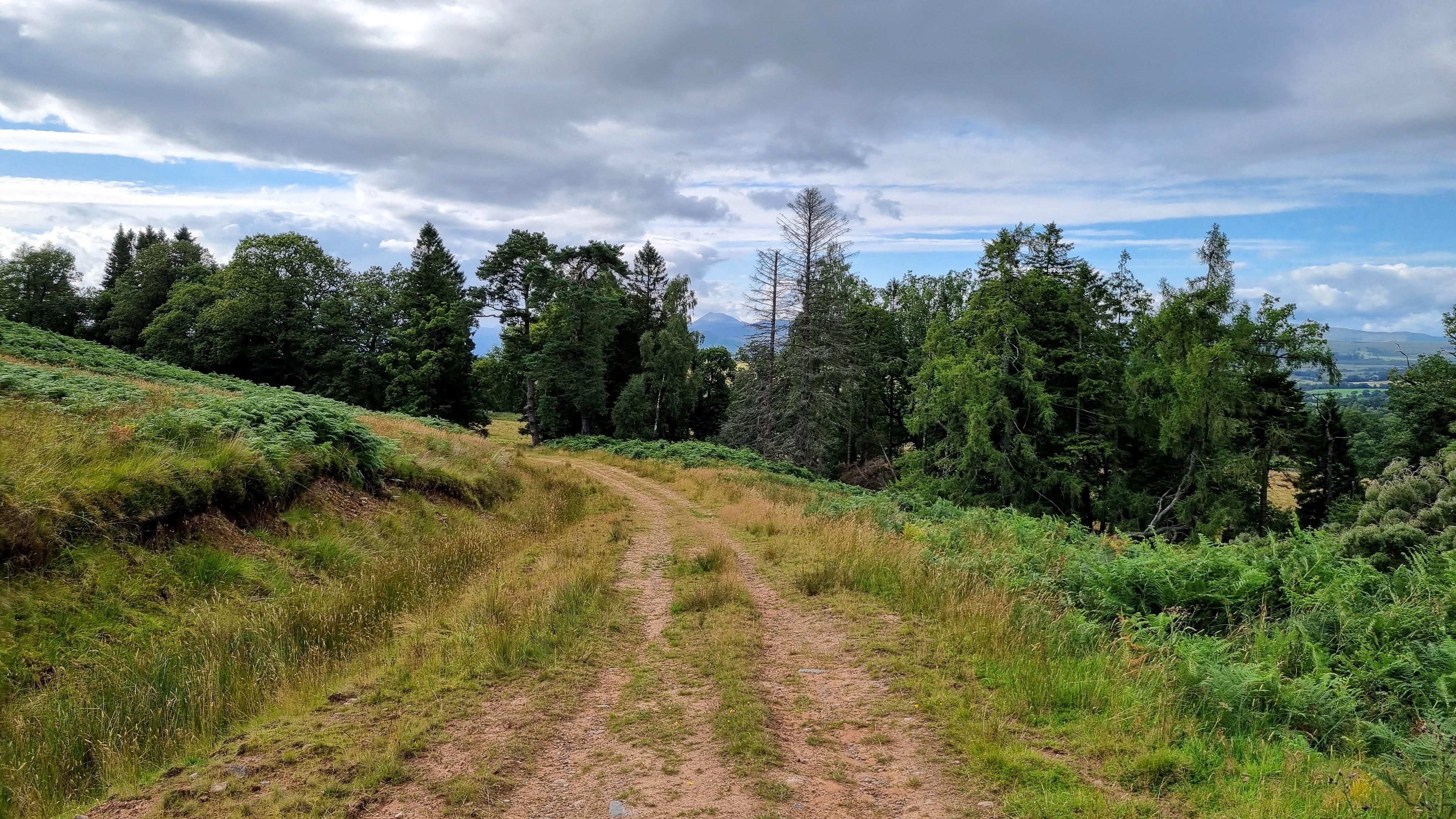
Back to the highland hills and not before time! Creag an Lochain is the north east top of the Munro Meall nan Tarmachan and sits above the reservoir Lochain na Lairig. I parked at the green hut close to the high point of the Lochain na Lairig road which goes between Loch Tay and Glen Lyon. Although I had set off early I got the only remaining parking spot. Having been doing lowland hills for the last couple of years I had almost forgotten about midges; I was soon reminded. I stepped out of the car into a swarm, fortunately there were none further up the hill. Creag an Lochain- which is much steeper than it looks in the photo- and Meall nan Tarmachan from the start..... 

I followed a track initially but soon left it to strike straight up the hill, it was steep. Looking back at the starting point, Glen Lyon beyond.....


There was patchy cloud on the top of Tarmachan but it was obvious that it was going to clear.....

It soon did.....


The ridge narrowed higher up and there were views down to the lochan with the Lawers hills beyond.....

There were a number of false tops before I reached the grassy platform that was the summit; the actual high point was an embedded rock.....

Lochain na Lairig and the Lawers hills.....

Looking back down the ridge with a host of high hills on the horizon. The Peak finder app told me that I was looking at Mullach nan Coirean in the Mamores on the left and the Sow of Atholl on the right with Nevis, Grey Corries, Alder, Drumochter in between. A very useful tool Peak finder. 

I'm finding going down steep slopes a bit of a problem nowadays, however it is worth it for a day like this.

Monday 22 August 2022

East Lothian: Kingston Hill, Whitekirk Hill, Traprain Law

 21 August 2022

Participants: Just me

Where: Kingston Hill, 92m/300', P 34m, Tump, OS 66, NT 543 822, Whitekirk Hill, 77m/ 252', P32m, Tump, OS 67, NT 574 816, Traprain Law, 221m/725', P 134m, Hump, OS 67, NT 581 746

I was following the best weather again with a trip to East Lothian. It turned out to be a very pleasant day. The two Tumps were new to me and as they took next to no time to bag I carried on to Traprain Law which I last climbed with Ben in 2017. I parked in Kingston village and walked the short distance to the hill which has a great view of North Berwick Law and a surprisingly rocky summit which required the use of hands on the way down. North Berwick Law.....


The rocky summit.....

Whitekirk Hill was next, it is above the village of the same name and used to be a golf course. There was a convenient parking area west of the village at the entrance to an industrial building. The route followed the lane to the building, then a track and a stile which took me on to the hill. Although the former golf course is now overgrown, the paths are obviously kept cut so it was an easy walk to just short of the trig and then to the summit a few metres to the east and which has a round seated area! The view to North Berwick Law and to the Bass Rock.....


Dunbar and the Lammermuirs.....

Traprain Law which sits in front of the Lammermuirs from this angle.....

West to the distant Pentland Hills with Arthur's Seat also just visible.....

With lots of time available I headed to.....

It is a really interesting hill with connections to the Bronze Age, the Iron Age and the Romans.....

It is easy to see why it was an important settlement, it is steep and in parts rocky and the summit view takes in the surrounding countryside for miles in every direction. Today I shared it with a herd of ponies which graze this hill. Trig, horses and Lammermuirs.....


View towards Dunbar.....

Distant Bass Rock.....

West to the Pentland Hills.....

Traprain is also a good rock climbing area; looking over the cliffs on the southern side.....

East Linton and the Bass Rock.....


Traprain from the west, its more gentle side....


Sunday 7 August 2022

Meikle Caldon

 4 August 2022

Participants: Just me

Where: Meikle Caldon, 184m/604', P 48m, Tump, OS 57/64, NS 493 831

An evening walk to a Tump close to home that I'd neglected to visit so far, mainly because I hadn't noticed a place to park. However, a fellow member of the Relative Hills Society provided advice and, sure enough, it turned out that there was a handy parking place only 200 yards from the start of the walk. So I left the car in a wide entrance to a track on the other side of the A809 at Dualt and walked north up the road to the start of the track that led to the farm at High Finnich. I followed this track and before reaching the farm turned left on to another track that went between two fields. This went round Meikle Caldon to its south side where bracken slopes gave way to grass providing an easy route up. The view of Meikle Caldon from the start of the High Finnich track.....

There was considerable evidence that this hill is extensively grazed by cattle but all was clear on this visit. It was a good viewpoint. The Campsie Fells to the east.....

Auchineden Hill to the south.....

Loch Lomond, the Luss hills and Ben Lomond to the north.....

with Ben Lawers hills and Ben Ledi further round to the north east.....

A view of Ben Lomond through the trees on the way back.....

A good use of a couple of hours in the evening.


Friday 5 August 2022

Arrarat Hill (Douglas)

 30 July 2022

Participants: Just me

Where: Arrarat Hill, 428m/1,404', P 52m, Tump, OS 71, NS 778297

A short trip down the motorway to west of Douglas for Arrarat Hill in the midst of windmill land. The one advantage of wind farms for hill walkers (apart from the obvious one of providing green energy) is that you can use a track to get up the hill, rather than ploughing through a maze of tussocks of which Arrarat Hill has an abundance. I parked at the entrance for the Galawhistle wind farm and set off up the track. It wasn't long before Arrarat Hill came into view.....


I mentioned that this was windmill land, this is looking east to part of the massive Hagshaw Hill wind farm. It encompasses the Marilyn of Common Hill, which I have climbed a couple of times.....

Cairn Table to the west (a Marilyn south of Muirkirk) viewed from the way up.....

There were great open views. Hagshaw Hill again, this time from the summit, where the wind farm company have placed a notice explaining what it's all about. The high point is just to the west of turbine No. 3. Tinto is emerging from the cloud in the distance.....

Cairn Table again.....

The southern view is to the Lowther hills. I took a photo of them from the summit and a couple more on the way down.....


An excellent short day out, unless you don't like windmills of course!