Saturday, 21 September 2024

South-west Scotland 1: Dow Hill and Shalloch Hill (Girvan)

 16 September and 19 September 2024

Where: Dow Hill, 159m/522', P 34m, Tump, OS 76, NX 193 961 and Shalloch Hill, 71m/233', P 33m, Tump, OS 76, NX 184 958

An Indian summer had arrived so I decided to tick a trip off my list. The main objective was the Mull of Galloway but I had identified a few other Tumps that could be bagged on the way. First stop was Girvan parking in the south car park and following a track which went over the railway line and round the west side of Dow Hill. Where it turned sharp right I took to the hill slopes and soon reached the summit which is the site of an ancient fort and a good viewpoint. I returned the same way.

Dow Hill from the car park.....

Heading up.....

View of Girvan.....

Ailsa Craig.....


Looking south to Byne Hill and the Marilyn, Grey Hill.....

I decided to leave Shalloch Hill for the return journey. It lies to the west of Dow Hill and can be described as an upland grassy field. The approach.....

Girvan from the summit.....

Cloud breaking off the top of Ailsa Craig.....

View to Dow Hill.....


Wee Hill of Craigmullach


12 September 2024

Where: Wee Hill of Craigmullach, 427m/1,401', P 49m, Tump, OS 77, NX 482 959

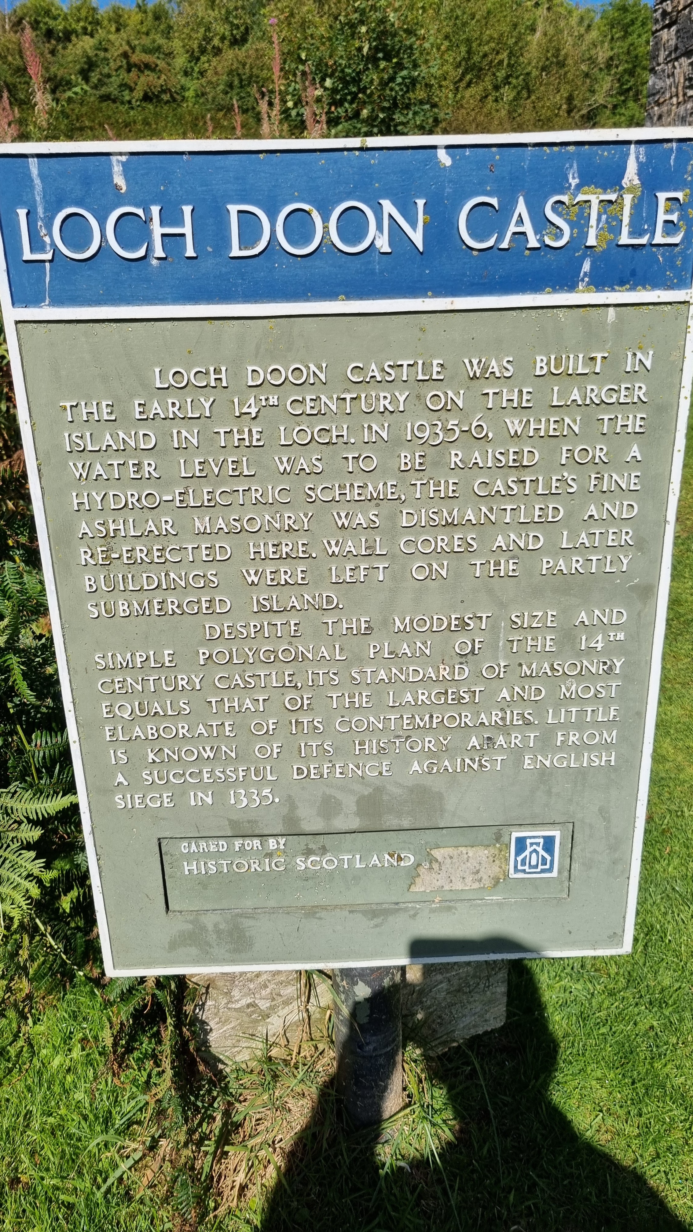
A rare sunny day! This hill had been on my radar for a while, I had climbed the neighbouring Marilyn, Craiglee, some years before but was almost certain that I had not included this top. So it was off to Loch Doon and the car park at the old castle.....


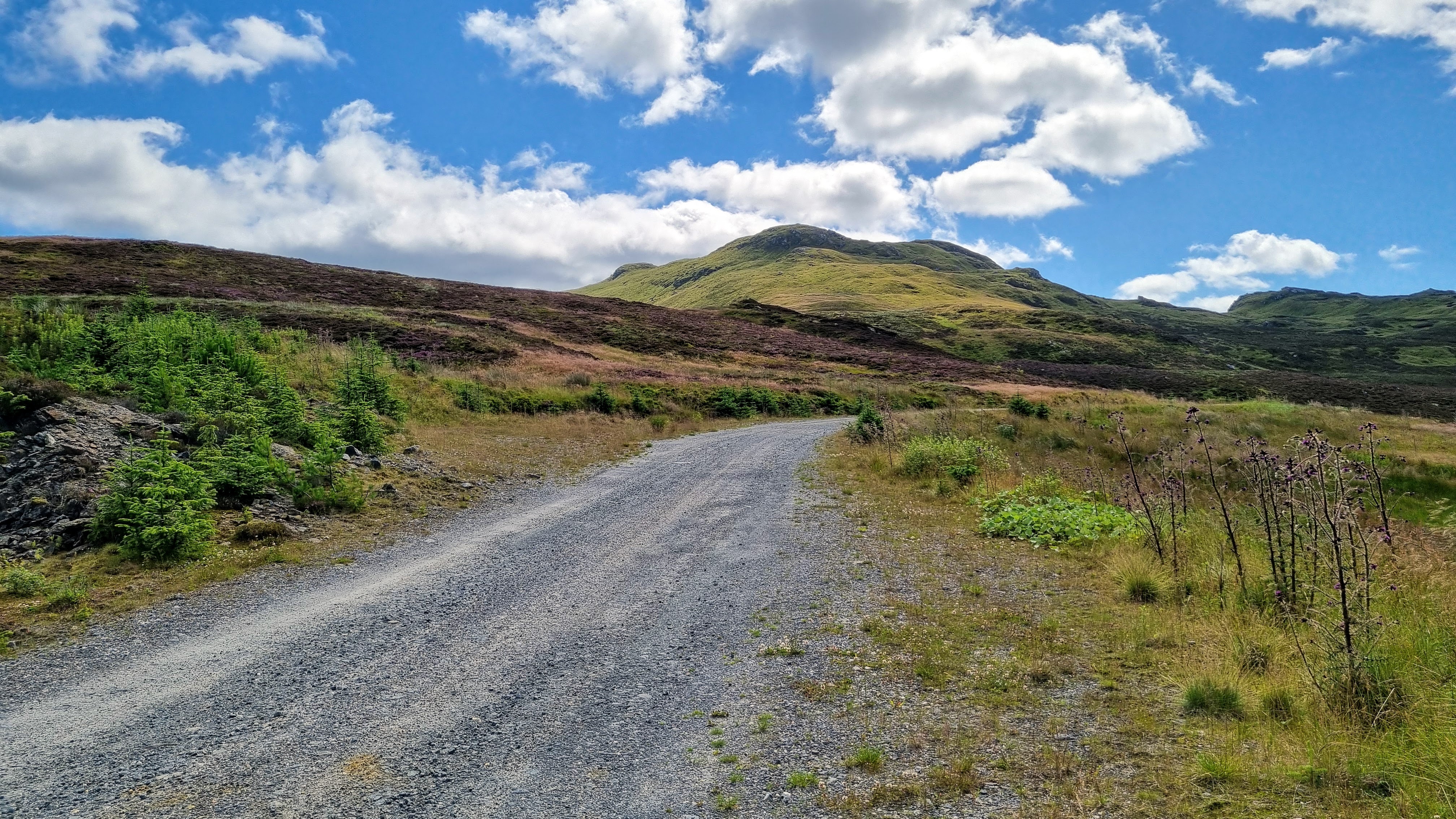
The path up the hill started from the side of the castle and was signposted. It was a bit overgrown initially but once past a small forest everything opened up and there were good views down to the loch with the main Galloway hills beyond......


There was also a view north to Craiglee as I got higher.....

It was a fairly gentle climb to the summit on a good path and I was soon approaching the substantial cairn.....


The Galloway Hills- The Merrick in the centre with the view spreading north to Shalloch on Minnoch.....

It was a great view and I sat at the cairn for a while taking it all in. And I was now sure that I hadn't visited this top last time I was in the area.

Saturday, 17 August 2024

The Mount

 16 August 2024

Where: The Mount, 423m/1,388', P 110m, Hump, OS 72, NT 098421

The Mount is a wooded hill south of Kirkurd, it would be a great viewpoint if it wasn't for the trees!

There was good parking at the start of the forest track and I had taken the precaution of reading reports on Hill Bagging so that I knew which tracks and paths to take.  Just past an old quarry marked on the map but not obvious on the ground, I turned right on to another track going uphill and followed that until I came across a small cairn marking the start of a rough path that went easily all the way to the summit.....

There was a large cairn with the actual high point nearby. Unfortunately, the only view was a tantalising glimpse of the Culter hills.....


Monday, 5 August 2024

Ciochan a'Chop

 30 July 2024

Where: Ciochan a'Chop, 731m/2,399', P 43m, Tump, OS 52, NN 808551

One of the higher Tumps, Ciochan a'Chop could probably be described as the north top of Meall Tairneachain, north of Aberfeldy. There is a high starting point on the road between Aberfeldy and Tummel Bridge and the bulk of the approach is along the track which leads to the former mine. The track rises steeply at first, levels out, and the rises steeply again to the col with Meall Tairneachain. Then follows a short trudge over heather and tussocks to the final slopes which rise to a fine rocky, pointed top. There is barely enough room to stand at the cairn and there are steep drops to the north and east. I liked this one.

The track is initially through a thick forest with only brief glimpses west to Schiehallion......

Emerging from the forest there is a fine view towards Ciochan a'Chop (left) and Meall Tairneachain (right).....

Schiehallion again.....

Meall Tairneachain ahead.....

Ciochan a' Chop from the col.....

Summit views, to Schiehallion, Beinn a'Ghlo, and Farragon Hill.....


Monday, 29 July 2024

Drumderg

22 July 2024

Where: Drumderg, 423m/1,388', P 46m, Tump, OS 53, NO 177554

Drumderg is a moorland hill north of the Alyth to Glenshee road. It is now occupied by a wind farm making the ascent easy on tracks, without which it would have been a struggle in tufty and boggy vegetation. The actual high point was only metres away from the track. There was good parking at the start. The main views were to the west and in particular the Beinn a'Ghlo group, and also to Mount Blair to the north. Not a hill on which to meet many people! But a sense of spaciousness, despite the turbines which were only moving gently.


Wednesday, 10 July 2024

Berrie Craigs and Glenbuck village

 8 July 2024

Where: Berrie Craigs, 389m/1,276', P 38m, Tump, OS 71, NS 735 300

Berrie Craigs sits in the heart of former mining territory, In fact its east side has disappeared as part of a vast open cast coal min which also saw the village of Glenbuck removed from the face of the earth. The whole area is being reclaimed and the site of the village is now being developed as a tourist attraction. As well as a story of past industry, Glenbuck also has a football connection. Bill Shankly, the famous Liverpool manager was born in the village. There is a memorial to him and one also to the local team, the Glenbuck Cherrypickers. The memorial is visited by Liverpool fans as is clearly evidenced. There is lots of information on the site where houses once stood- a fascinating place. Well worth a visit.

As to Berrie Craigs, there is a track from the car park almost to the high point- a rocky crag with a fine view of the area. 

A different sort of walk, very enjoyable.


Approaching Berrie Craigs.....


Summit area.....


Artificial lake with Hareshaw Hill beyond.....


View south to Cairn Table.....