Thursday, 20 October 2016

A Visit to Shropshire: The Wrekin

11 October 2016

Participants: Just me
Where: The Wrekin, 407m/1334', Sub-2k Marilyn, Map 127, SJ 628081

The Wrekin is probably one of the best known hills in England. It is an isolated, volcanic plug, mostly tree covered but cleared on top and it is visible from many miles away.....


It was foggy when I arrived at the substantial car park so I waited for about an hour before setting off in the hope that it might clear the higher up I got. The ascent was straight forward- I just followed the wide track.....
 
 
About half way up, I passed a sign explaining a bit about the use of the hill as a fort. It said "The Wrekin was possibly first settled in the Neolithic or the Bronze Age but the visible defences are between 2,000 and 2,500 years old and date from the Iron Age. It stands out among over 50 such sites in Shropshire and is likely to have been the tribal capital of the Cornovii. It comprises an inner (3 hectare) enclosure encircling the summit and outer (8 hectare) defences encircling the lower slopes. Its fortifications clearly point to defence but it probably served a range of functions such as a tribal meeting place and/or ritual centre. It seems to have been abandoned around the time of the Roman conquest and there is no archaeological evidence for later re-occupation."
 
Approaching the large radio mast near the summit, the fog began to thin and it looked as though I might be in luck.....
 
 
And I was, it was clear on top and the sun was shining. I expected that it would be a popular hill and it was.....


The mist shrouded the lower ground so I saw nothing of the industrial landscape below.....


It would have been interesting to have seen the major cities, maybe another time. They are somewhere down there.....


In fact, the only indication of industry that I was able to see was the stack of the now disused Buildwas power station at Ironbridge (peeping out of the cloud to the left of the trig).....
 
 
I returned the same way and went to have a look at the village of Much Wenlock. 
 

Wednesday, 19 October 2016

A Visit to Shropshire: Corndon Hill, Stiperstones, Long Mynd (Pole Bank)

10 October 2016

Participants: Only me
Where: Corndon Hill, 513m/1683', Sub-2k Marilyn, Map 137, SO 306969: Stiperstones, 536m/1760', Sub-2k Marilyn, Map 137, SO 368987: and Long Mynd - Pole Bank, 516m/1694', Sub-2k Marilyn, Map 137, SO 415944

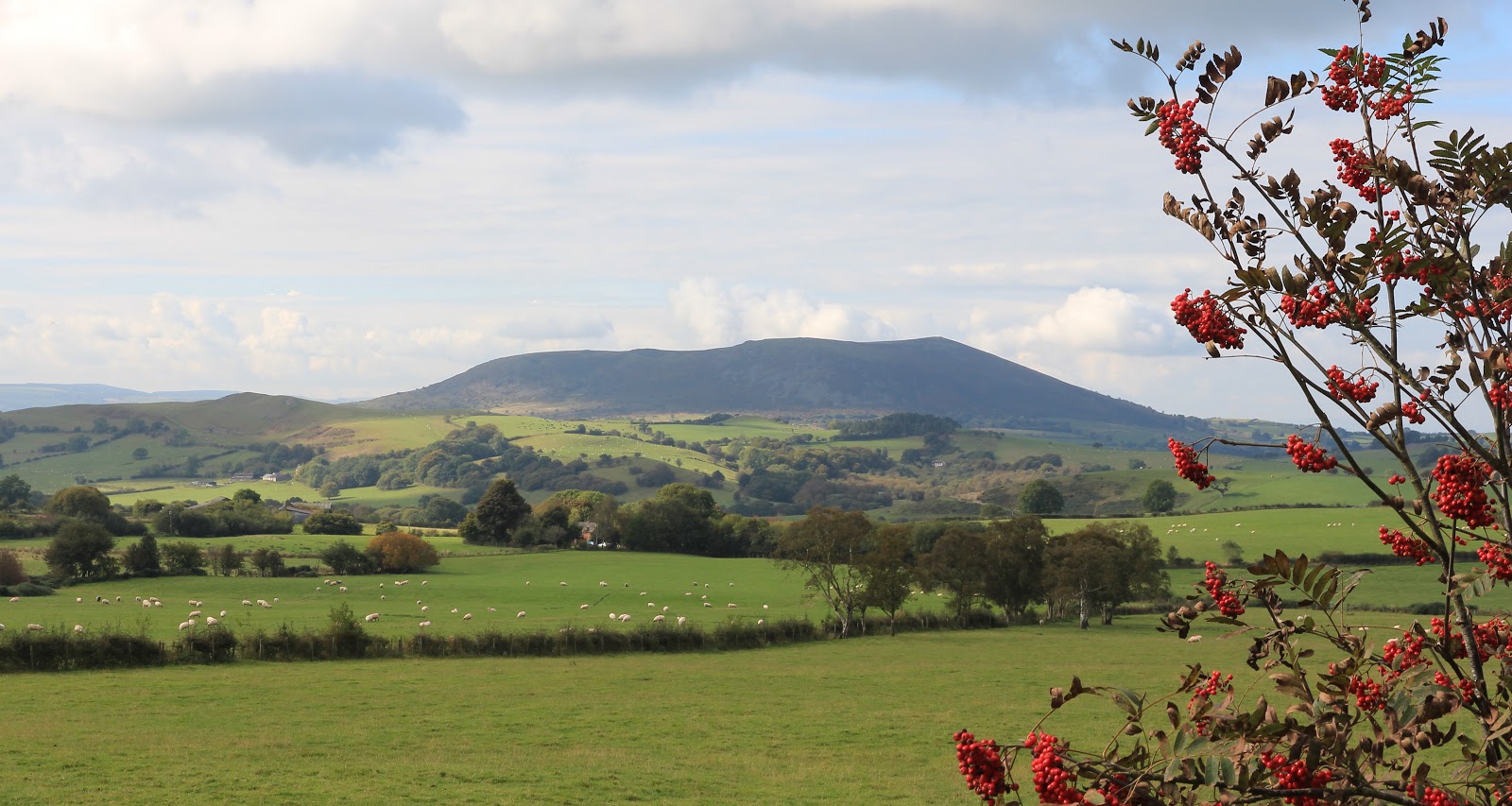
There are a lot of sub-2k Marilyns within a short distance of Shrewsbury, where I was based, but I decided to concentrate on these that had a bit of additional interest, e.g., good views, geological features, hill forts and so on. Weather wise, it looked like being the best day of the week so I decided to visit three of the bigger and more well known hills, Corndon Hill, which is actually a couple of miles over the Welsh border, Stiperstones, and the Long Mynd. A feature of the day was the number of Red Kites that I spotted, they are certainly well re-established in this neck of the woods. Here is the first objective, Corndon Hill.....
 
 
There was a small car park to the north of the hill, provided for visitors to a stone circle. I didn't bother visiting the standing stones as there only appeared to be a few stones left and there are better examples in Scotland. A farm track led to a gate in the fence and a sign informing me that I was permitted to climb the hill from that point. Lots of folk appear to have taken up the offer as there was a well developed path that led all the way to the top, steeply in places. As forecast, the early morning mist was dispersing and it was turning into a beautiful day. Here are a couple of views looking further into Wales.....


I got a pleasant surprise when I reached the summit- there was a seat.....
 
 
How they got this up the hill I don't know because it was a really solid structure. Anyway, it was welcome and I sat on it for a while taking in the views including to Heath Mynd, another Marilyn which was not on my to do list this visit.....
 
 
and to Stiperstones, which was next on my list.....
 
 
Stiperstones is a 10 kilometre quartzite ridge which includes a number of prominent jagged tors of which Manstone Rock is the highest point. Unsurprisingly, given the jagged, rocky nature of the landscape, Stiperstones is also rich in legend, particularly featuring the Devil.....


On the way to the hill, I stopped at the Bog visitor centre. The area around Stiperstones used to be a big mining area and at one time produced around 10% of Britain's lead ore. The Visitor Centre, formerly the village school, tells the story of mining in the area and is well worth a visit. Apparently, at one time the Bog was a bustling village but most of the houses are now long gone. There is a car park at the Bog and a path from there up the hill but I chose to carry on to a higher car park and shorten the walk a bit. My excuse was that I still had another hill to do after this one.

A walk taking in the whole ridge would be well worthwhile as it sits high above the surrounding countryside. There was a good view of Corndon Hill to the west.....


while to the east across another valley was my next objective, the Long Mynd.....


Here are some views along the ridge including some of the tors.....


There was no mistaking the highest point (the figure to the right gives it's scale).....


I reached the trig by way of a short easy scramble on the west side, it was a great perch.....


Then it was back to the car and a drive along narrow country lanes- and I mean narrow! They took me down into another valley and then up again to another ridge, the Long Mynd, whose highest point, Pole Bank, was another Marilyn.

Long Mynd was one of the easiest Marilyns that I have done; "climbed" would be to totally misrepresent the facts. There was another high car park and a smooth track along the ridge to the highest point involving no more than 30m of height ascent.....


There was both a trig and a topograph; both pictures have Corndon Hill and Stiperstones in the background.....


  Stiperstones again.....


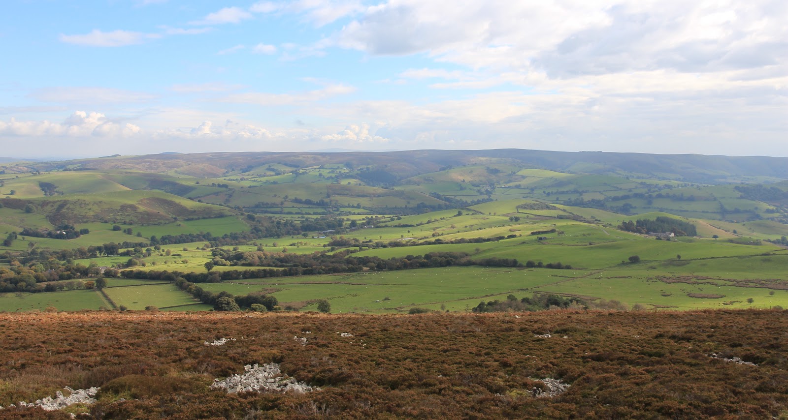
On the east side of the ridge was another valley, the one that contains a number of villages including Church Stretton. However, none of the valley can be seen from the ridge; what can be seen (just) is another Marilyn to the east, Caer Caradoc, on my list for later in the week......


The Long Mynd has lots of good walking but on its flanks rather than on the ridge itself. Nevertheless, I found this a fascinating days hillwalking with three different and distinctive types of hill. And I only had to drive about 50 miles in total from base and back to bag them!


Tuesday, 18 October 2016

Billinge Hill

9 October 2016

Participants: Just me
Where: Billinge Hill, 179m/587', Sub-2k Marilyn, Map 108, SD 525014
 
This year, the AGM of the Mountain Bothies Association was being held in Church Stretton in Shropshire, a part of the country that I had not been to before. The weather forecast was promising so I decided to take the week off before the meetings and explore the area and of course climb some of the hills. There was only really one Marilyn that was feasible to climb on the route down- Billinge Hill which is not far from Wigan and only a few miles off the M6. It was hardly a hill as such; merely the high point in the village of Billinge but nonetheless, as everything round about was basically flat, it had great views. It is the highest point of Merseyside.
 
Unsurprisingly, the hill is used as a beacon and it seems to be referred to as that locally. I parked at the end of Beacon Road from where it was only a few hundred yards along a track to the summit, passing a small incinerator plant on the way. This is the view of the hill from a nearby field.....
 
 
There is a small tower at the summit, built in the 18th century as a summerhouse for Winstanley Hall but now sadly disfigured by graffiti and closed......
 
The views were extensive, although not knowing the area I wasn't able to identify much. A working topograph would have been useful. This is the view over the Cheshire plain with some of the hills of north Wales in the far distance.....
 
and this is looking east to the Pennines. I think that the hill with the mast could be Winter Hill.....
 
Having such a commanding view, it is not surprising that Billinge Hill was used for observation purposes during World War II. It was also apparently subsequently used by the Royal Observer Corps who had a bunker not far below the summit that would have been used if a nuclear war had occurred. So a small hill but not insignificant and with a great view on a clear day.

Tuesday, 27 September 2016

Druim na h-Earba

26 September 2016

Participants: Neil and Ben
Where: Druim na h-Earba, 288m/944', Sub-2k Marilyn, Map 41, NN 090713

I had to go to Fort William for an MBA related meeting which finished around 2pm allowing time to climb a wee hill. The obvious choice was Druim na h-Earba just to the south of the town and it had the additional advantage of a high start point. On checking my records, I found that it was 6 years since I had done this one, seems like yesterday. I parked at a viewpoint; the hill path started directly opposite. It was a bit muddy in places and there was evidence that cows were about but we never came across them. The path went all the way to the trig which is situated on a fine perch with views in all directions. This is one of these hills where you are amply repaid for very little effort. Some photos.
 
Ben Nevis from the path.....


Fort William from the path.....
 
 
The sun was in the wrong direction but still managed this view down Loch Linnhe to the Corran narrows.....
 
 
Across the loch to Stob Coire a'Chearcaill.....
 
 
Corpach and the hills to the north.....
 
Across Glen Nevis to the Mamores.....
 
 
Glad that I was able to get this walk on a fine early autumn afternoon.

Thursday, 22 September 2016

Another visit to Ben A'an

22 September 2016

Participants: Neil and Ben
Where: Ben A'an, Trossachs, a Tump

As it often does, the atmosphere had cleared after overnight rain so another walk was in order. When I climbed Ben A'an last year, the main path was closed for repair and the forest was being cut down. Both of these have really enhanced the walk, the path is a delight and there are views across the loch most of the way up (and down). The Forestry now charge £3 per day to park and claim that all the fees are channelled into path restoration work. You could get off with only paying £1 but that only gives you an hour; I for one certainly can't do Ben A'an in that time!! It's too nice a hill to hurry; there are some great views on a good day. The route is straightforward, just follow the path from the car park to the top and then reverse it. Here are todays photos.


Sunday, 18 September 2016

Minch Moor

17 September 2016

Participants: Neil and Ben
Where: Minch Moor, 567m/1,859', sub-2k Marilyn, Map 73, NT 359330

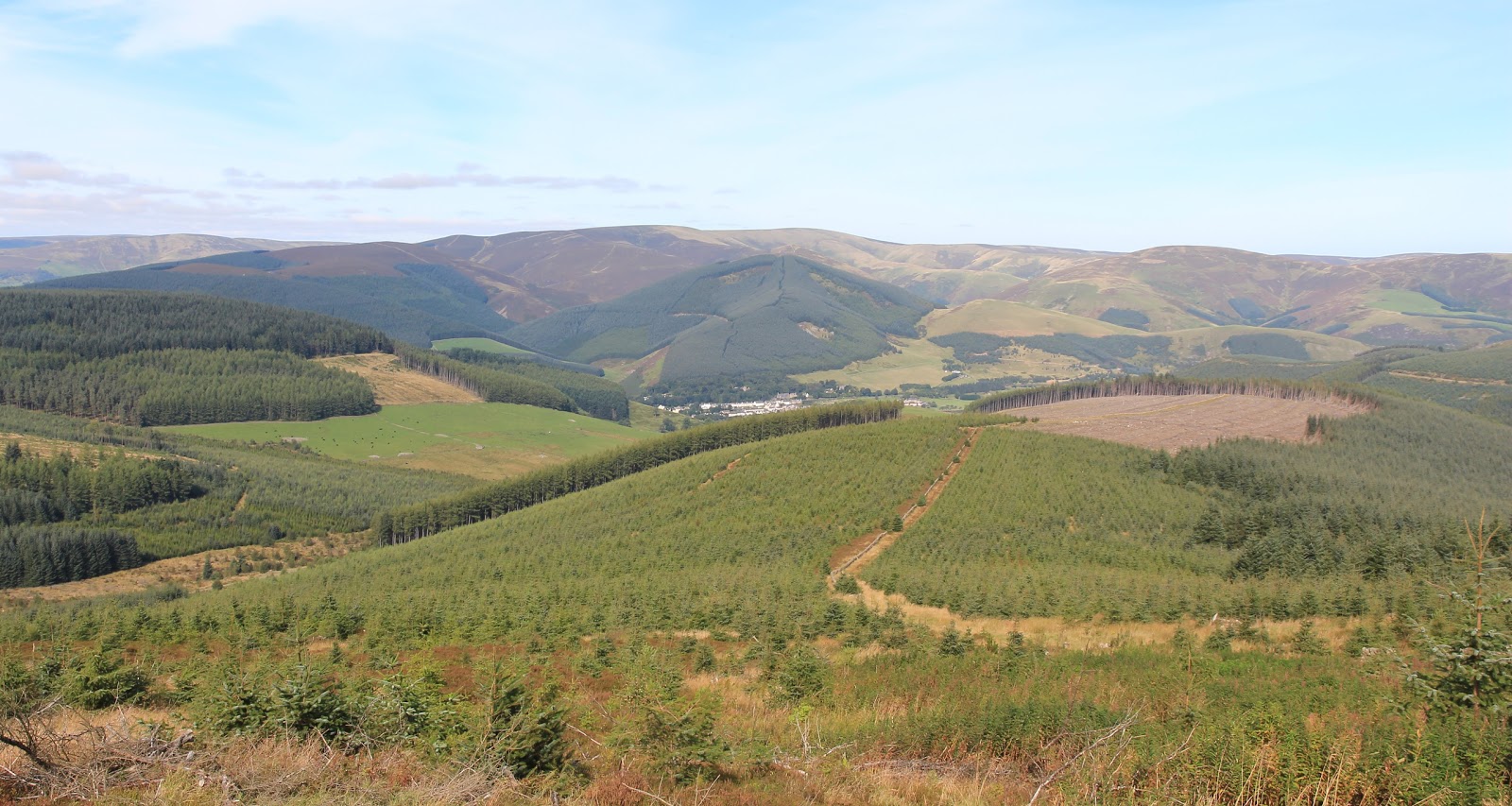
I headed to the Borders meaning to climb Cademuir Hill near Peebles but as I approached I saw that the forestry were busy chopping down trees on the summit ridge so carried on to Traquair for another ascent of the Minch Moor. It is a good walk with wide summit views and some interesting "extra" features. It was a warm day but the humidity of recent weeks had gone making it much more comfortable for walking. The views appear almost immediately, this is the view from near the start with my objective on the horizon.....


and this is looking back at Traquair and the Tweed valley.....
 
 
The Minch Moor is an old drove road  which at one time was the main route across southern Scotland. It has been in use for over 800 years, and is now part of the Southern Upland Way. It is the route by which Montrose and his cavaliers fled from Philiphaugh after the battle there.....


The track soon passed the site of the old Minchmoor bothy which the MBA decided to give up because of vandalism and problems with litter. Sadly, matters didn't improve after the SUW rangers took over responsibility for maintaining it and the building was subsequently demolished. It is not the only bothy that could be reached easily from a public road that has suffered that fate. There is now a horse memorial close to the place where the bothy stood; I hope that it receives more respect.

I was now clear of the forest and looking over Pipers Knowe where there is a "growing sculpture" created in 2005 by Charles Poulsen known as Point Of Resolution. It comprises large, irregular ovals cut into the heather. Couldn't see the point in it myself but it provided an excuse to stop walking for a few minutes. A little further on I came to the Cheese Well, a wayside spring whose name relates to the ancient custom of leaving presents of cheese for the fairies to ensure a safe and successful journey for the drovers who used this route from Traquair to Yarrow. Coins have replaced cheese today......


The path from the main drove route to the summit is signposted. All of this area is part of the Borders mountain biking system and there were a lot of bikers about.....


Fortunately, the biking trails are separate from the walkers route, although they converge at the summit.

Some views from the summit looking east.....


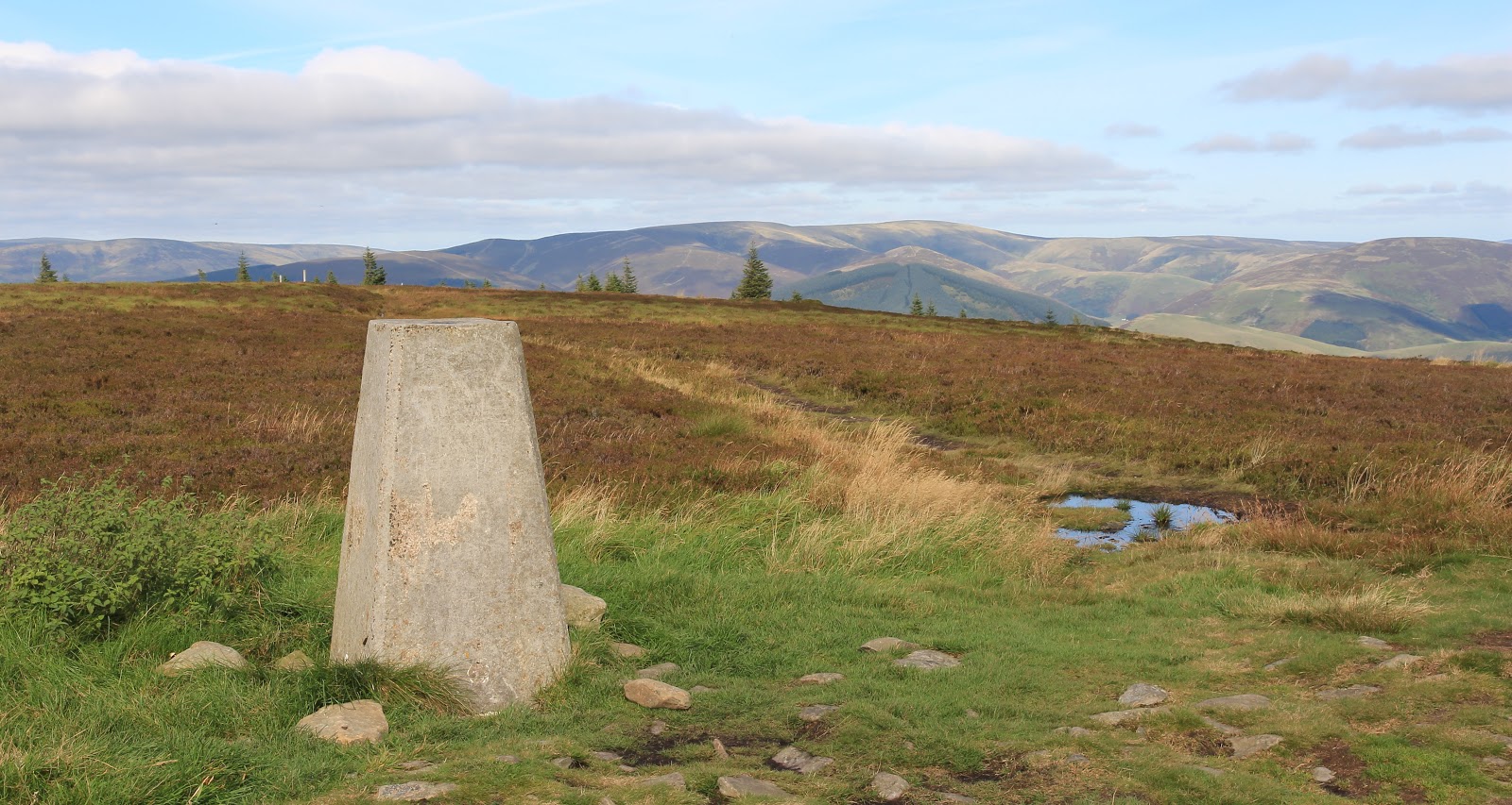
The trig with the hills around Windlestraw Law in the background (north side of the River Tweed)......


A view over Walkerburn.....


The familiar shape of the Eildon Hills in the distance.....


I returned by the same route. The visibility was really sharp by now and there was an excellent view ahead to the hills around Dun Rig.....


So the forestry work at Cademuir turned out to be lucky and gave me an excellent day on the wide open spaces of the Minch Moor.