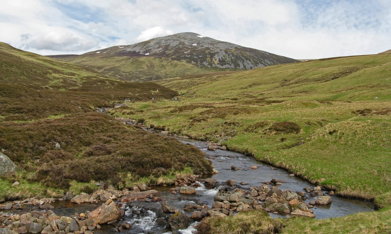
Monday, 21 June 2010

Torlum, The Knock of Crieff

21 June 2010.

Participants - Just me
Where - Torlum, 393m/1,290', Sub-2,000' Marilyn, Map 57, NN 819192; Knock of Crieff, 279m/915', Sub-2,000' Marilyn, Map 52/58, NN 873233

 It was a warm day and a bit humid; I fancied a short walk and didn't want to have to drive too far to get there. Fortunately, there are a number of easy Marilyns that fulfil that criteria and provide a nice day out. I approached Torlum from the network of narrow roads to its east and parked at the entrance to a forestry track near to a sawmill. This is a view of the hill that I got from along the road a bit.....


I then simply followed the track which turned into a path higher up and the trig soon appeared. Someone has planted a Christmas tree beside it which now looks to be well established!


The best of the view was towards the hills around Ben Chonzie; this, as they say, is one that I took earlier, as it is a better picture than the one that I took today!


The only downside to this walk was the number of flies. They were so annoying that I only stayed at the top for a few minutes before turning round and heading back to the car.

I then drove the short distance to Crieff to climb the Knock. This is it from the west.....


It must be amongst the easiest of the Scottish Marilyns. There is a car park behind the Crieff Hydro hotel so I was half way up the hill when I got out of the car. The initial walk was through nice mixed woodland with a carpet of flowers.....


which brought me to a viewpoint with a good view of Ben Chonzie and Auchnafree Hill behind it.....


but the summit itself was a bit further on in the middle of a pine forest (picture again taken on a previous visit) so there was no view from it.....


Thursday, 17 June 2010

Meall na Teanga, Sron a'Choire Ghairbh

15 June 2010.

Participants - Just me
Where - Meall na Teanga, 917m/3,008', Munro; Sron a'Choire Ghairbhe, 935m/3,066', Munro, Map 34

 I have climbed these two Munros, either separately or together, a number of times. This is Meall na Teanga seen from the main road across Loch Lochy.....


As usual, I started the walk near to the farm at Kilfinnan, where there is space to park a few cars at the end of the public road. It had been a few years since I was here; the most noticeable difference was that the trees had grown considerably and the walk along the loch side was now very shut in. These spruce forests are so boring. Also, I came across a new sign helpfully pointing out the route to the two hills; amazing how "Munro" has become so much a part of popular parlance.....


The route was straightforward- a couple of miles along the main forest track before branching off up the marked Right of Way to Tomdoun via the Cam Bhealach. I found the going on this path OK on the way up, but on the way back when I was tired the many stones soon had my feet complaining. This is the view up towards the Cam Bhealach from about the halfway point; with the early morning blue sky fast disappearing over the horizon.....


I decided to climb Meall na Teanga first, as I reckon that it has the better views, and I wasn't sure at this point if I wanted to climb two hills. This is the view of the route it from the Cam Bhealach......


There was  a path of sorts which helped considerably on the steep section and I was soon on the ridge. It was not far to the cairn although I thought that the true summit was a few yards away from it. There was a good view to Ben Nevis, still with some snow on it.....


and a view to a whole range of peaks to the west, including the familiar point of Sgurr na Ciche.....


and of course a view down to Loch Lochy.....


I hung about for a bit taking on liquid supplies (water only, of course) and looking at the views. On the way back down to the Bhealach I could clearly see the route up Sron a'Choire Ghairbh with the zig zags of the stalkers path on it clearly visible.....


If it hadn't been for this path then I probably wouldn't have bothered climbing this second Munro but it does make for an easy ascent so up I went!  The path went much further than indicated by the map and where it ended the walking was excellent on short grass and moss. The cairn was at the edge of the steep northern corrie.....


and I would probably have spent more time here if another walker who was just in front of me had not got out his fags and started smoking! So it was back down the path to the Bhealach with a good view of Meall na Teanga ahead.....


And this is the view back down the Cam Bealach glen with Loch Lochy at its foot.....


As I said earlier, I found the path hard going and I was glad to reach the forestry track, even although I had still a further two miles to go to get back to the car. These are good hills to walk and the only disappointment was that the sun never really came out so the light was a bit flat for photography, Still, you can't have everything! I estimate that I had walked about 9 miles, climbed about 1,150m of ascent and it took me 7 1/4 hours.

Wednesday, 16 June 2010

Creag Dhubh (Newtonmore)

14 June 2010.

Participants - Just me
Where - Creag Dhubh (Newtonmore), 756m/2,479', Graham, Map 35, NN 677972

 I had often passed by Creag Dhubh and on one occasion even stopped to watch people climbing on its cliffs but until recently had not thought about going to the top. However, as I had climbed the other Creag Dhubh at the other end of the Laggan - Glen Spean road earlier in the year and as this one was also a Graham and reputadly a fine viewpoint I decided that it needed to go on the list!

I left the car about 1/4 mile past Auchmore farm at the start of a track through a small forest. There was more parking space there than opposite the farm itself which was where the map showed the track that I wanted to be on starting. However I found that the two tracks joined up and although a bit twisty in places, they enabled me to avoid what looked like some rough and boggy walking on the moor itself. Here is a view of the ridge as I got closer.....


There was a lot of rock on the ridge but also a rough path that avoided any scranbling. This is the upper part of the ridge.....


It was a bit of a dull day although the clouds were mainly above the tops, apart from the Cairngorms which were covered. The best of the views were to the west. This is to Creag Megaidh from near the top of the ridge.....


There were two cairns, the furthest away one marking the top. This is looking past it to the Drumochter hills.....

I returned by the same route; it was a 3 hour walk involving about 4 miles and about 500m of ascent. Now that I'm home, I'm checking my records because I reckon that Creag Dhubh was my 599th Marilyn and that the next new one that I climb will qualify me for the Marilyn Hall of Fame!

Friday, 11 June 2010

Buachaille Etive Beag (Stob Coire Raineach and Stob Dubh)

10 June 2010.

Participants - Just me
Where - Buachaille Etive Beag- Stob Coire Raineach, 925m/3,035', Munro; Stob Dubh, 958m/3143', Munro; Map 41

 This is one of my favourite hills and I was looking for a few favours from the weather gods in order to make the most of it. I was hoping for a day with excellent visibility, bright sunshine, not too hot and with a bit of a breeze to keep the midges away- and I was not to be disappointed! This is a view of the hill from the main road.....


Previous parking problems in this part of Glencoe have been solved by a new car park built right at the start of the track through the Lairig Eilde which is also the start point for the wee Buachaille (Stob Dubh is the peak on the right).....


The NTS had been busy; the old rough, wet path had been replaced with an excellent new path with a stairway of boulders up the steepest parts. It was one of the best of the new paths that I had come across and as a result I was on the ridge at the col between the two Munros in an hour. There is a great view of Bidean nam Bian from high up the path and of course from the ridge itself.....


I think that the ridge is one of the best viewpoints in the area; this is looking from the col down Glen Etive to Stob Dubh of Beinn Ceitlein.....


The changes to Munros Tables brought in Stob Coire Raineach as a second Munro for the Buachaille. It took me less than half an hour from the col to its summit.....


which looks down on Glencoe with Ardgour beyond across Loch Linnhe.....


The panorama also takes in the Mamores and Ben Nevis.....


the main top of Buachaille Etive Mor with Rannoch Moor and Schiehallion beyond.....


and my next objective, the main top, Stob Dubh.....


There was a good path all the way, steepish to start with, then a flat section before the ridge narrowed considerably and steepened again.....


This is looking over to Buachaille Etive Mor from near the top of the ridge.....


And then I was at the summit. There were a couple of cairns, the lower one past the summit providing a fine view down Glen Etive.....


I sat about here for a while taking in the views and chatting to some other people who had arrived. The breeze had disappeared up here, something that I have noticed before at the tops of hills, and there were a few midges about. So I shifted my position to a few yards downhill to catch the breeze again and get away from them. Too soon, unfortunately, it was time to go back down, boo, hiss. Here is a final view from Stob Dubh looking back along the ridge to Stob Coire Raineach.....


With all of the stops, it took me about 5 hours. With the two Munros, there was about 900m of ascent although the total distance was not great, about 5 miles.

Friday, 4 June 2010

Carn an Tuirc, Cairn of Claise, Glas Maol

3 June 2010.

Participants - Just me
Where - Carn an Tuirc, 1,019m/3,343', Munro; Cairn of Claise, 1,064m/3,491', Munro; Glas Maol, 1,068m/3,504', Munro; Map 43

 A change of scene today- I was off to walk three of the big Munros on the eastern side of the Cairnwell road. I parked about a mile past the Cairnwell ski centre at the start of a path that followed a burn up a glen straight to the foot of Carn an Tuirc, hill of the boar.....


The best of the views at this point were behind me- especially to the Cairnwell and Carn Aosda.....


This was the steepest climb of the day and I followed grassy tongues in order to avoid as much of the awkward boulder field as possible. It was a hot day and I was glad when the summit cairns came into view. I really must cut down on the amount of stuff that I carry in my rucsack!  There was a good view from here to the Cairngorms, still with large amounts of snow on them, unusual for the time of year.....


From Carn an Tuirc, I took a slight diversion to have a look at Coire Kander, an unexpected feature in an otherwise vast grassy tableland.....


Cairn of Claise from here was simply a walk up a gradual grass/moss slope spoilt by an unsightly track that has been carved out here.....


It was bouldery again at the summit and there was also the remains of a wall, apparently built to mark an old county boundary. This is the summit cairn with my final Munro of the day, Glas Maol beyond.....


There were a number of tracks criss-crossing the plateau but mine continued to the foot of Glas Maol from where I found a footpath developing that took me straight to the cairn.....


Glas Maol was the highest point of the day. On previous visits, I have carried on to the Cairnwell road from here but it is more than a bit messy with ski lifts, tows, buildings and fences, so today I decided to miss all that out and reversed my steps to the lowest point between Glas Maol and Cairn of Claise. From there, I descended to the north via a ridge that ended at the rocky top of Sron na Gaoithe. The path along this ridge is part of one of the old rights of way across the Mounth, the Monega Road, which runs from the Braemar road to Glen Isla. Here is a view of Cairn of Claise from the descent of Glas Maol- it looks more like a hill from here.....


There was a good view back to Glas Maol from the ridge.....


which took me down to a newish bridge across the burn just below the car park. There wasn't much notable in the way of wildlife during the day- lots of hares and a single Golden Plover, that was about it. Stats for the day were a walk of about 9 miles with around 830m of ascent. It took me 5 1/2  hours.

Wednesday, 2 June 2010

Cruach nan Capull

30 May 2010.

Participants - Just me
Where - Cruach nan Capull, 611m/2,005', Graham, Map 63, NS 095795

 I like going on trips to hills that involve a ferry journey- it's usually to one of the Scottish islands but today it was the short hop across the Clyde to Dunoon en route to one of the Cowal Grahams- Cruach nan Capull. The Saturn must be one of the oldest ships in the CalMac fleet; here it is approaching the pier at Gourock.....


and this is the view from the ship heading for Dunoon.....

                                    
I had seen reports of folk climbing this hill from the north, from Corrachaive Glen, but the map showed lots of forest and the route looked to be very shut in. Although it involved a longer drive and a longer walk, I preferred to climb the hill from Loch Striven where there is no forestry on the hill and therefore views all of the way. So I drove round the coast from Dunoon and parked in a large lay-by near to the church at Inverchaolain. A track started from there; I left it after a few hundred yards and took to the hillside which was steep at this point. There were traces of a path. Very soon, I was able to see back down the loch and to the hills of Arran in the distance.....


The view was spoilt a bit by this.....five container ships laid up in the loch waiting for the economic situation to improve. Apparently, they have been there for about a year.....

                                   
The view to the head of the loch was much better.....


Higher up, I came across an old fence and the views really opened up at this point. This view back down the ridge shows Loch Striven, the Kyles of Bute, the Clyde estuary, the islands of Bute, Arran and Holy Island with Ailsa Craig just visible if you look carefully.....


Not long after that I reached a trig; it was in a bit of a strange place I thought as the summit was still over a mile away. This is looking to the summit from the trig.....


The ridge became much broader now and there were only glimpses of the loch below. From this point, I could see the Paps of Jura on the horizon.....

                                    
There was very little more ascent to the top, which was marked by a small pile of stones.....

   
The only previous time I climbed this hill I dropped straight down to the glen from the summit and remember regretting it as the going was awful in places before I reached the track. Anyway, the views were so good that it would have been a shame to have left the ridge so I just turned around and went back the same way. This is another hill with a sea level start so I had to climb every metre/foot of its height; the summit and back was about six miles and it took me 4 hours.