Participants: Just me
Where: Low Fell, 423m/1,388', Sub-2k Marilyn, Map 89, NY 137226
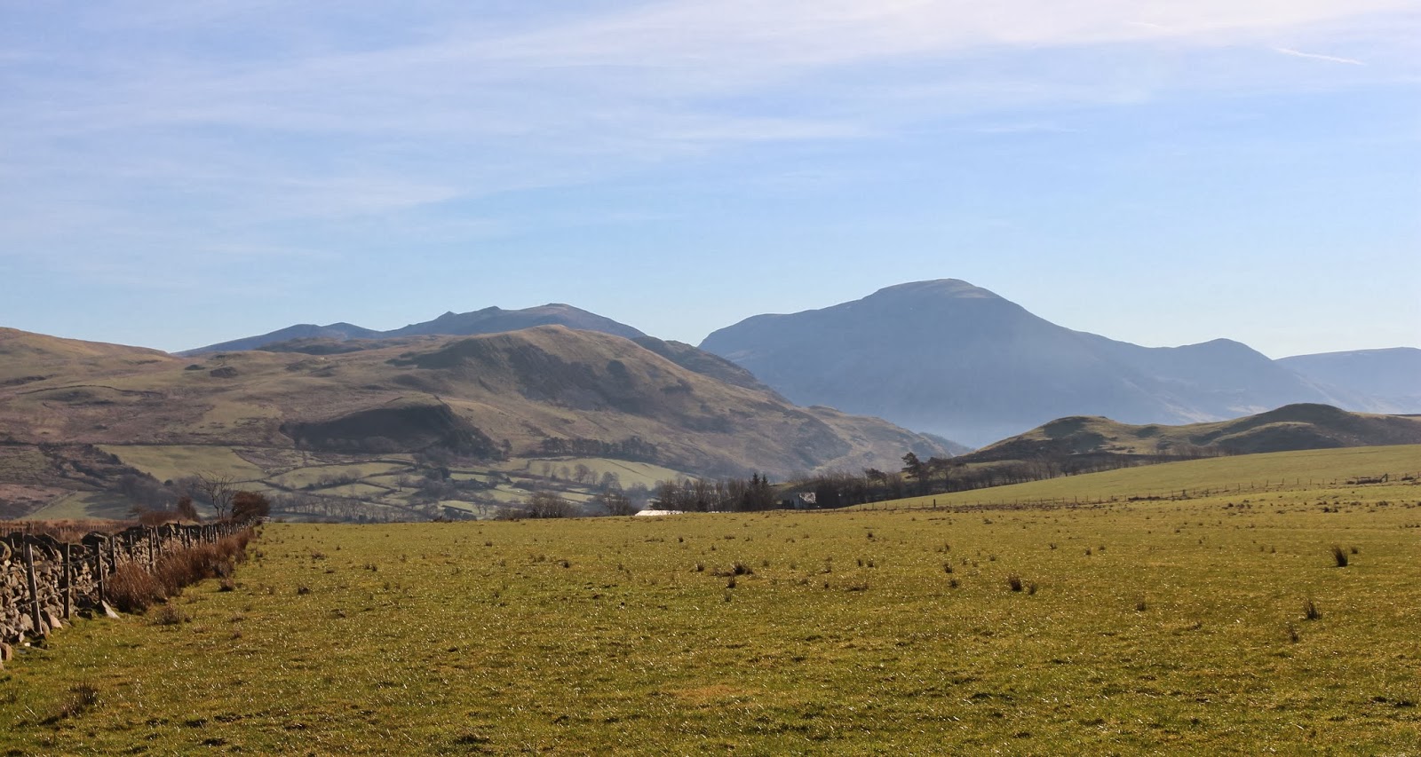
I woke up to a stunner of a day! I was getting the Lake District at it's best. I drove south from Cockermouth and took the side road through a place called Mockerin heading for Loweswater. Just before dropping down to the lake I stopped to take this picture of the fells that I was heading for with the bulk of Grassmoor beyond.....
There was plenty of roadside parking at the end of the track to the farm of Askill which I followed for less than a mile before taking to the hillside of Darling Fell. It was already warm and I was down to shirt sleeves before I'd gone very far. This was the view that I got when I reached the top of Darling Fell; Low Fell is ahead with Whiteside and Grassmoor in the background.....
Grassmoor looks really steep from this side, I did it from the other side over Grisedale Pike which is quite a gradual ascent.
It was just empty moorland to the north- well, apart from numerous sheep- and with a distant view of Skiddaw.....
The cairn on Darling Fell was a couple of hundred yards beyond the highest point, presumably because that is the better view point. Crummock Water is the lake in the distance with Buttermere showing just beyond it.....
What was less welcome was a view of a hundred metre drop and re-ascent to Low Fell! But it was worth the effort, Low Fell was another stunning viewpoint overlooking the length of Crummock Water with the High Stile range to it's right.....
I was now very much closer to Grassmoor.....
I sat for quite a while at the cairn, it was a day to linger.....
There were a few other people about, all seeming to have started from the north, over Fellbarrow and across the plateau. And that was the way that I started back, over to Sourfoot Fell and then angling back across the moor to join the track that I had left earlier in the day. This is a view back at Low Fell from the moor.....
Back at the car, I continued along Loweswater and followed the road through Lorton Vale back to Cockermouth, stopping at Scale bridge to take this last photo of Low Fell.....
The walk was about 4 miles with about 400m of ascent and took a leisurely 3 hours.


1 comment:
An area I've not explored yet. Glad you got great weather for your trip as it makes a big difference to mood and enjoyment.
Post a Comment