Where - Craiglee (Loch Doon), 523m/1,716', Map 77, NX 470962
Participants - Same as yesterday.
Well that was a good one! It was helped by having a glorious sunny day, excellent visibility and a slight breeze that kept the midges and flies away. I had decided to venture south again to another bit of the Galloway Forest Park that I had not been to before- Loch Doon, south of Dalmellington. After stopping in that now terribly rundown village for a paper and a bottle of water, I turned off down a single track road and soon left the old industrial area behind. This was my first view of today's objective- Craiglee.....

With the hills forming a background to the loch, I could have been in the highlands. There was a big car park at the old castle- more of that later- and we were soon on our way up a grassy track that left the road immediately south of the building. The Merrick and its surrounding hills soon came into view.....

Where the path split, I chose to go right, only because that branch seemed to be gaining more height. This took me well up the Wee Hill of Craigmulloch and when I was level with the col between it and Craiglee I contoured round and tackled the mostly grassy slopes head on.....

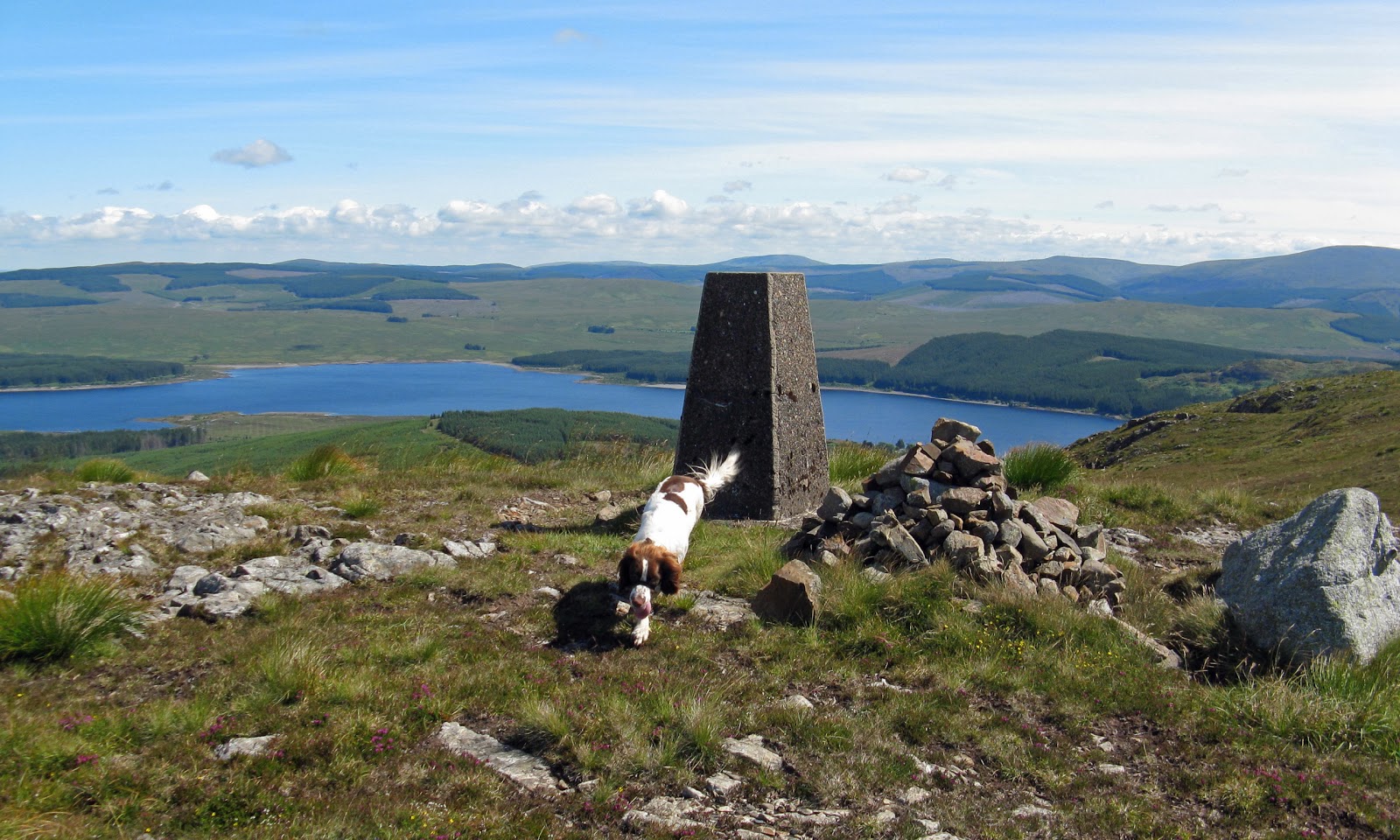
It was a steady pull up, mostly on grass but with some heather and a few boulders to cross. We reached a cairn and the summit was then only a few hundred yards further on.....

It was a brilliant viewpoint. This is looking back to Loch Doon with Cairnsmore of Carsphairn background.....

Further round on the far side of the loch were the Rinns of Kells and Corserine.....

And round still further the Merrick and the hills to its north as far as Shalloch on Minnoch.....

There are lots of lochs in this area; immediately to the north of Craiglee was Loch Finlas.....

I hung about at the summit for a while before returning by the same route. Then it was time to have a look at the castle.....

This is all that's left of the inside.....

The castle was originally built on an island in the loch. However when the water level was raised in the 1930's for hydro purposes, the castle was removed and rebuilt stone by stone to its present location near the shore line. The water level was low enough today to see the original site out in the loch.....

The castle was built in the early 14th century and it played a role in the Wars of Independence.
The Forestry Commission have provided a forest drive linking the Loch Doon road to the road that goes from Straiton to Newton Stewart so rather than go back the same way I took that. The surface was better than a number of classified roads that I can think of! I had thought that I would be deep in the forest for most of the drive but the route was surprisingly open. The road passed a number of lochs including this one- Loch Bradan, with views to the Merrick hills.....

and to Shalloch on Minnoch.....

An excellent trip- one that I can recommend.
No comments:
Post a Comment