Tuesday, 4 June 2024

Glen Esk- Hill of Rowan and Craig Crane

 1 June 2024

Where: Hill of Rowan, 380m/1,247', P 75m, Tump, OS 44, NO 473 795 and Craig Crane, 337m/1,106', P 82m, Tump, OS 44, NO 518 790

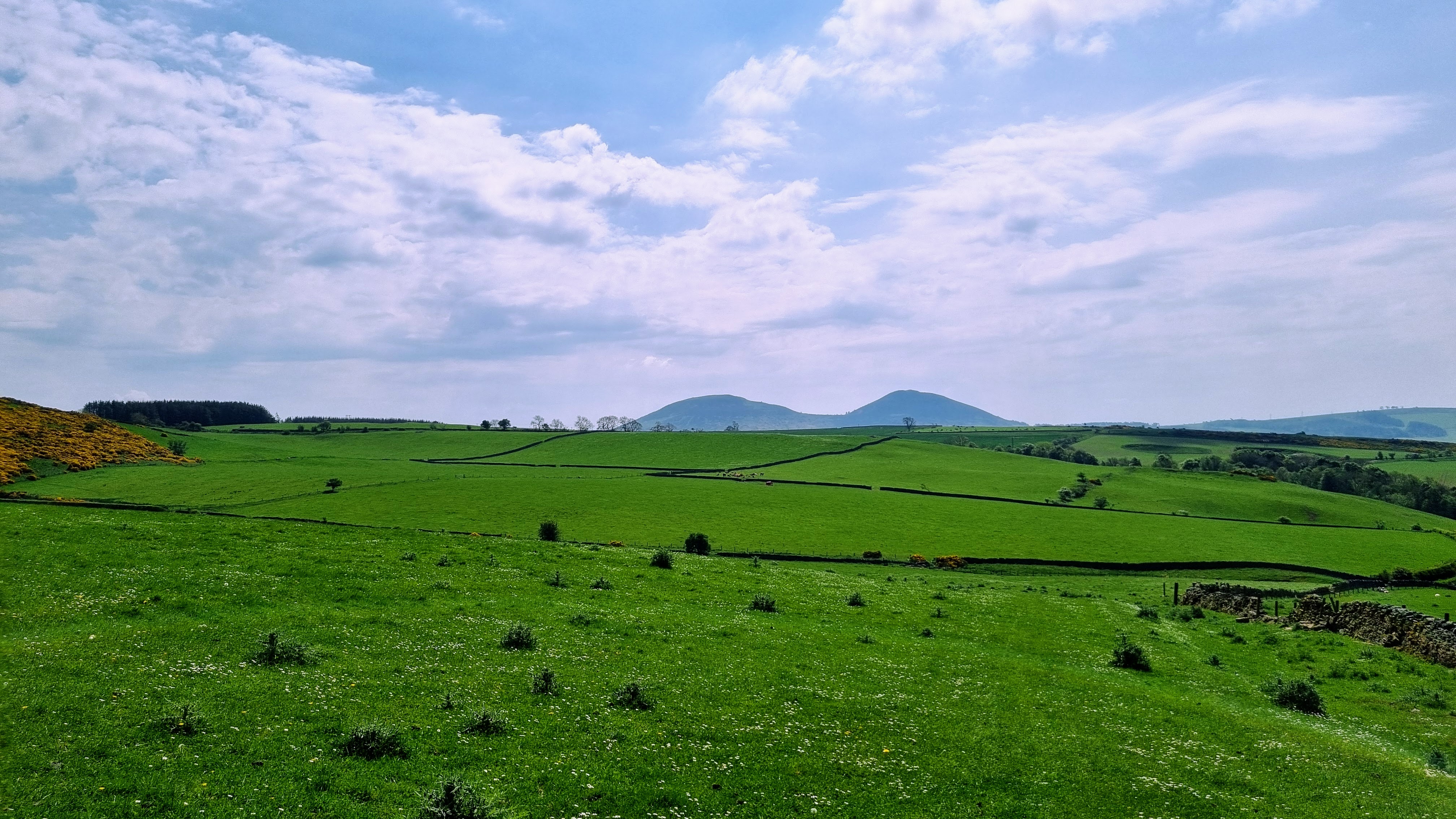
Hill of Rowan was a hill that I had wanted to climb for a while; situated north of Tarfside with an unmistakable monument on its summit. I set off from the car park in the village and followed the road for a few hundred yards; where it turned right I carried straight on opn a good track. This wended its way gently up the hill; where it levelled out I left it to follow a rougher track which went to the monument......


The monument, known as the Maule Monument, is huge. There is an entrance but it was secured so I couldn't see what was inside. It was built in 1866 by the First Baron Panmure to commemorate seven members of his family and as a dedication to others......


As expected the views were good and I sat around in the warm sunshine for a while just taking in the scenery. Looking to upper Glen Esk with Creag Maskeldie and Hunt Hill prominent......

Looking to Mount Keen.....

Back at Tarfside, I pondered whether to drive to the head of the glen and have a look at Loch Lee or go 3 miles back down the glen to bag another Tump, Craig Crane. The Tump won! There was a big parking area just before the track to the farm at Auchintoul which was also the start of the track to the hill. This track went all the way to the summit. Upper Glen Esk from the lower slopes.....

The summit.....


The view across the Glen to the Glen Lednock hills.....

View to upper Glen Esk.....

View to Mount Battock.....


Monday, 3 June 2024

Fotheringham Hill

 31 May 2024

Where: Fotheringham Hill, 254m/833', P 110m, Hump, OS 54, NO 465 457

I was heading north to climb a couple of hills in Glen Esk but decided to make it a two day trip stopping to climb this hill, at Inverarity south of Forfar, on day one. It is a heavily wooded hill, here seen from Inverarity.....

I parked in the church car park in Inverarity and walked north along the road for a short distance to Bottymyre and the start of a track which went all the way to the summit. It was a gentle climb and after a bit I passed a look out point which I later found out was an old summer house named The Henroost.....

After passing an old weather station the trees thinned out and I was soon approaching the summit.....

It was impossible to find the exact highest point...

and unfortunately the heat haze meant that the far views were restricted, the hills of the Angus Glens almost totally obscured.....

Back at the car, there was a "soupfest" in aid of church funds and I accepted an invitation to go in for a welcome cup of tea (donation made).


Tuesday, 28 May 2024

Cairnsaigh Hill

 20 May 2024

Where:Cairnsaigh Hill, 288m/945', P 50m, Tump, OS 71, NS 609 361

It was cloudy when I got up but started to brighton up around noon. The temperature was also down a few degrees on recent values and there was a cooling breeze. And the forecast was for turning wet the rest of the week. So I made a late decision to go hillwalking again. I headed for the South Lanarkshire- East Ayrshire boundary to do Cairnsaigh Hill, which involved only a short walk. It turned into another beautiful day and it was a pleasant wee hill with good views. 

I parked on a minor road to the east just before a bridge over the Avon Water and walked back up the road to the start of a windfarm track. It said "No Entry" so I jumped a gate into a field and walked up parallel to the track for a bit before crossing an old wall into another field and then on to the open hill. There were gates in all of the right places and the terrain was mainly short grass so easy peasy.

Looking to Loudoun Hill from the start and from near the summit.....


Some of the views. There was a communications hut and mast on top but they didn't detract.....


Monday, 27 May 2024

Scabbet Hill (Melrose)

 18 May 2024

Where: Scabbet Hill, 281m/922', P43m, Tump, OS 73, NT 544 371

A hot day today, temperature reached 24 degrees lower down although there was a welcome breeze at the summit and avenues of trees provided some shade. I took the train to Edinburgh and another to Tweedbank (the Borders Railway). From the station, I joined the Southern Upland Way and followed it for 2-3 miles before crossing sheepy fields to reach the trig at the summit of Scabbet Hill. There were good views of the Eildons from hre. I returned the same way.

The first part of the route follows the river Tweed and crosses the road bridge near Gattonside.....


The SUW then reverts to a track.....


It is a bit shut in but there were some views, this is looking west towards Galashiels.....

The route crosses a minor road; there was a good view to the Eildon Hills from here.....

After going through an avenue of trees, the SUW enters a field and the tump summit comes into view.....

Eildons from the summit field.....

Galashiels from the summit field.....

The actual summit and trig is behind a small quarry under some electricity lines; I could still see the Eildon Hills in the background.....


Starting back,,,,,

Another excellent day out, more so because I didn't have to drive.

Sunday, 19 May 2024

 10 May 2024.

Where: Meall Reamhar, 669m/2,195', P 61m, Tump, OS 52, NN 877 326

A Perthshire Tump/Sim - Meall Reamhar north of the Sma Glen. A fine viewpoint. I parked opposite the start of the track leaving the A822 at the 298m point and followed the track to its end. A new track continues north round the hill to a much higher point but I chose to continue over grass and heather straight up. I used the new track on the way down; if I was doing this hill again I would go up the new track. Views were a bit hazy.

A view of the hill from the parking area in the Sma' Glen.....

On the path up and the junction of the old and new tracks.....


It was a mix of grass and heather once I had left the path up.....


There was both a trig and a small cairn about 20 metres apart, the cairn is the high point.....


The view down to the Sma' Glen.....


Starting down on the new track and a view north-east.....


Me at the trig.....


A pleasant walk, curlews calling lower down, lots of grouse.

Friday, 3 May 2024

Tumping around Oban-4 (Isle of Kerrera)

 24 April 2024

Where: Barr Dubh, 114m/374', P 48m, Tump, OS 49, NM 828 293 and Barr nan Cadhag, 114m/374', P 40m, Tump, OS 49, NM 823 295

My final day of the short trip and I was up early to get the first ferry to Kerrera, a five minute journey from Gallanach......


From the ferry terminal on the island I headed straight inland on a good track. Just before reaching Balliemore farm, I headed north over grassy sheep pastures with Barr Dubh now in view..... 

There were a couple of burn and fence crossings but with bridges and gates just where they were needed and I was soon on the slopes of the hill. Looking across the valley to my next objective, Barr nan Cadhag with Mull beyond.....

Looking north.....

Looking south to Carn Breugach, the highest hill on Kerrera which I had done a couple of times before.....

I dropped back down to rejoin the main track which I followed for a bit until it forked and then picked up other tracks which took me to Barr nan Cadhag. The approach.....

Me on the summit of Barr nan Cadhag with the Mull mountains beyond.....

Looking north to the Ardgour and Etive mountains.....

Mull......

There was no shortage of tracks hereabouts so I crossed country back to the main track where I came across this local craft shop which relies on honesty box payments.....

Then it was back to the ferry terminal where I sat around for awhile in the sunshine watching the ferry crossing to and from the mainland.....

An excellent short day, there were a lot of visitors to the island but I had these two hills to myself. Still two Tumps to do on Kerrera, one each at the north and south ends of the island so a reason to come back. I certainly recommend a trip to Kerrera!