Sunday, 30 July 2023

Castlelaw Hill (Pentlands)

 28 July 2023

Where: Castlelaw Hill, 488m/1,601', P 81m, Tump, OS 66, NT 224 647

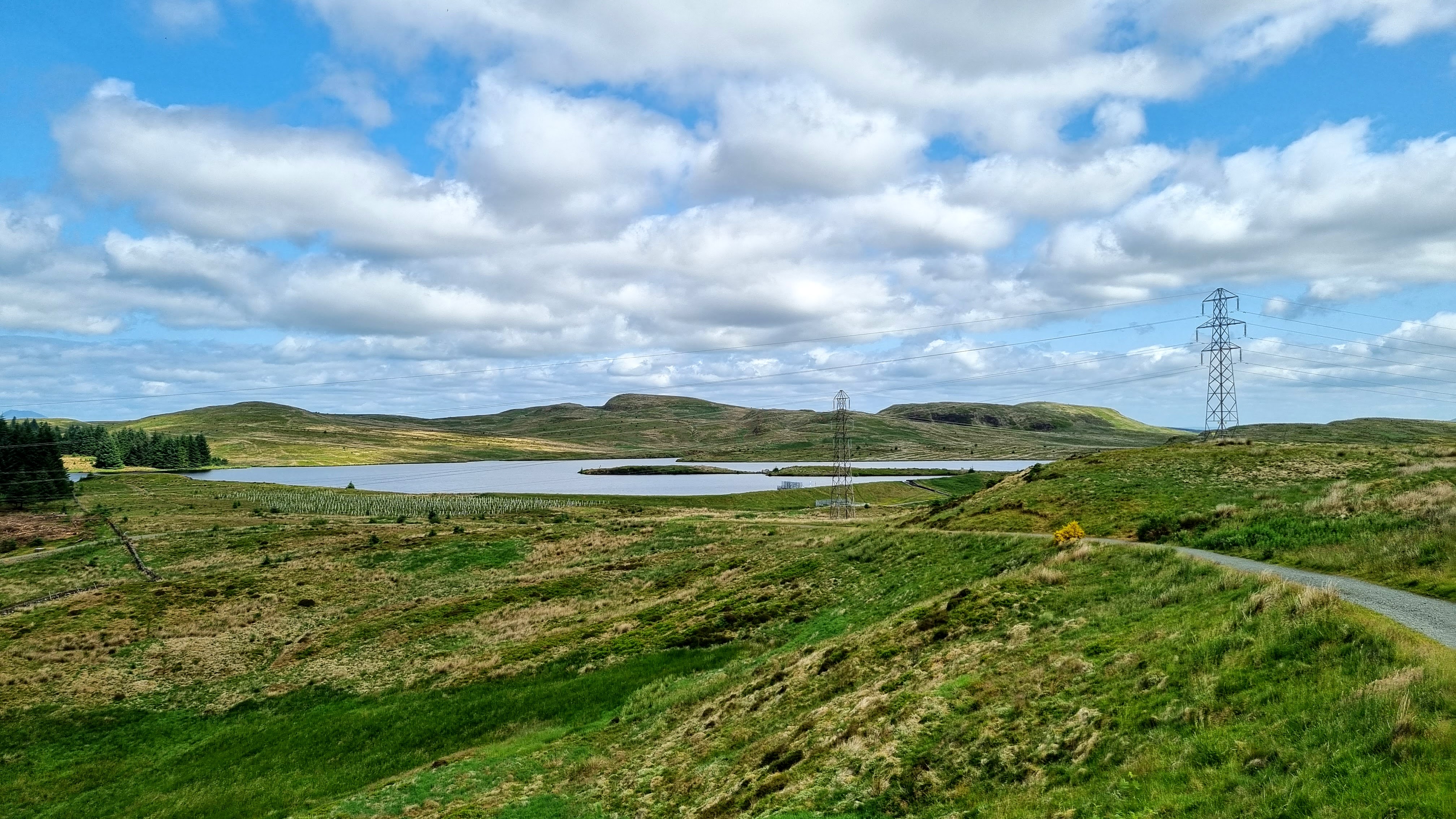
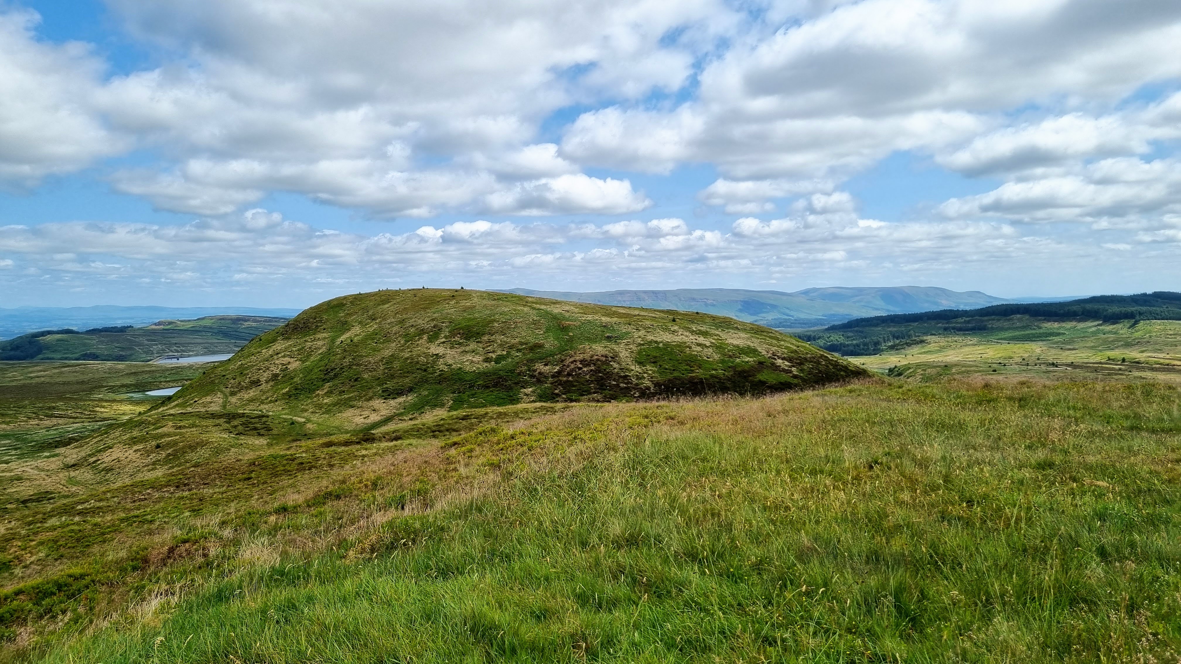
The only hill in the most popular area of the Pentland range that I had not previously climbed. I parked at Castlelaw which gained me some height. It is also the car park for Castlelaw Fort and its Souterrain which I had a look at when I had finished my walk. Castlelaw Hill from close to the start.....

Looking to Turnhouse Hill and Glencorse reservoir.....

It was a nice clear day after early rain. This is the view south to the hills north of  Peebles from the track.....

Caerketton from the track.....

The track wound up the east side of the hill and then turned sharply in a west/south-west direction and steepened considerably. The steep part was relatively short and I was soon at the summit which had a number of flag poles and other stuff on it.....

It was a fine viewpoint for the hills surrounding Glencorse reserve and further west Loganlea reservoir- Turnhouse Hill, Carnethy Hill, Scald Law, The Kips, Black Hill, Bell's Hill with East and West Cairn Hills in the distance.....

Looking south from the summit.....

Allermuir Hill and Caerketton Hill from just below the summit on the way back.....


The extensive Castlelaw was well seen from the track on the way back. It consists of three concentric rings of ramparts and ditches surrounding a low foothill and was home to an Iron Age community for some centuries. An earth house was built into the middle ditch and consists of a passageway and a chamber. It was probably used for storage purposes. Really interesting.....


Saturday, 22 July 2023

Scurr Hill (Balmerino)

 21 July 2023

Where: Scurr Hill, 104m/341', P 43m, Tump, OS 54/59, OS 368 251

July is never a good hill walking month for me, there is usually a lot of humid weather which doesn't suit me and this July was no different. However today was nice, cool with only a small chance of a shower so I decided to bag another hill on my list- Scurr Hill at Balmerino on the south side of the Tay more or less opposite Dundee, seen here from the west.....

I parked at the ruined Balmerino Abbey and walked down to the shore path, following it east until I found a rough path heading up the hill (just before leaving the forest area). Looking up the river from the shore path.....

Being mid- summer, the vegetation was high and the views across the river from the path were only fleeting.....


The hillside was all thick grass, bushes and nettles (another reason not to climb hills in summer) so I was pleased to see that the path up the hill was distinct.....

Looking back down the path to the river and across to Dundee.....

Once on the ridge, there were a number of paths to choose from and the trees were well spaced. The summit was a bit indistinct but I reckoned that it was beside some boulders. It was also right at the edge of the trees and there was a great view west up the river.....


I returned by the same route and back at the car had a look at the ruined Abbey which was a bit unkempt.....

An excellent day out.

Friday, 23 June 2023

Kilpatrick Braes: Middle Duncolm and Fynloch Hill

 22 June 2023

Where: Middle Duncolm, 393m/1,289', P 30m, Tump, OS 64, NS 467 771 and Fynloch Hill, 400m/1,312', P 46m, Tump, OS 64, NS 461 770

The very high temperatures and humidity which we had been enduring recently had eased slightly so I decided to do two of the Kilpatrick Hills Tumps which I had not yet done. I parked in Old Kilpatrick and followed the road/track up to Loch Humphrey, a bit of a slog if I am to be honest. It does however provide excellent views down to the Erskine bridge and Glasgow/Paisley and down the Clyde towards Greenock and the Cowal hills beyond. I took photos both on the way up and when I was coming back down.....


After passing the loch, the track becomes a good path and the hills come into view.....


I went to Middle Duncolm first, confirming as I did that when I climbed the Marilyn, Duncolm, many years ago, I had not climbed this one en route. The high point is unmarked and there was a view of the highland hills from it.....

Duncolm from Middle Duncolm.....

Fynloch Hill was close by and I found a path on it, albeit on the way down.....

This insignificant hill was a much better viewpoint. Looking over the Fyn Loch to Loch Lomond and the Munros/Corbetts of the Southern Highlands.....

East over Duncolm to the Campsie Fells.....

The day had warmed up considerably and I was starting to struggle, albeit it was mostly downhill now. I have had a sore back for a few weeks and that was affecting my legs. I was very glad to get back to the car park in Old Kilpatrick. Another visit to the physio coming up I think.


Friday, 9 June 2023

Glengaber Hill (Wanlockhead)

6 June 2023

Where: Glengaber Hill, 515m/1,690', P 40m, Tump, OS 71/78, NS 848 138 

Another visit to Wanlockhead and the excellent Lowther Hills. I was able to drive to and park at the end of the metalled road which went north from the village and which passed a number of old mine workings. This is now the route of the Southern Upland Way and a good path continued to within a few hundred metres of the top of Glengaber Hill, which is unmarked. The hill from the parking area.....

From the SUW looking east to Tinto.....

The summit looking over Stood Hill to the main Lowther Hills.....

Wanlockhead village from the summit.....

A former crushing and dressing plant.....


Former mine works, there a number of these around here.....

Spoil heap.....


Thursday, 8 June 2023

The Point, Isle of Lismore

 1 June 2023

Where: The Point (Isle of Lismore), 51m/167', P 34m, Tump, OS 49, NM 893 462

I was heading home and drove to Port Appin to catch the passenger ferry to the Isle of Lismore, an island I had not been to before. Port Appin pier and the ferry.....


A former telephone box on the island side had been converted into an information point and it also sold some souvenirs, with an honesty box to leave your payment.....


 The island's northerly Tump, The Point, rises above the pier and it was a matter of minutes to make my way to the summit, where I found a queue of other  Tumpers wanting to visit the cairn.....

It was a wonderful viewpoint. The views of Eigg and Rum which I had been seeing the last two days were replaced with an array of peaks of which the Corbetts Fuar Bheinn and Creach Bheinn in Ardgour were the most prominent. Memories of a tough round of Glen Galmadale many years ago....


The view south down the island, which is mainly agricultural.....

and north up Loch Linnhe.....

I dropped back down to the road and walked a couple of miles to the houses at Port Ramsay, which is situated on the west side of the island.....

The Glen Galmadale hills from Port Ramsay.....

I then backtracked to the other side of the island and made my way back to the pier. The view north from here was to the Glen Etive hills.....

and in the distance, the Vair pair.....


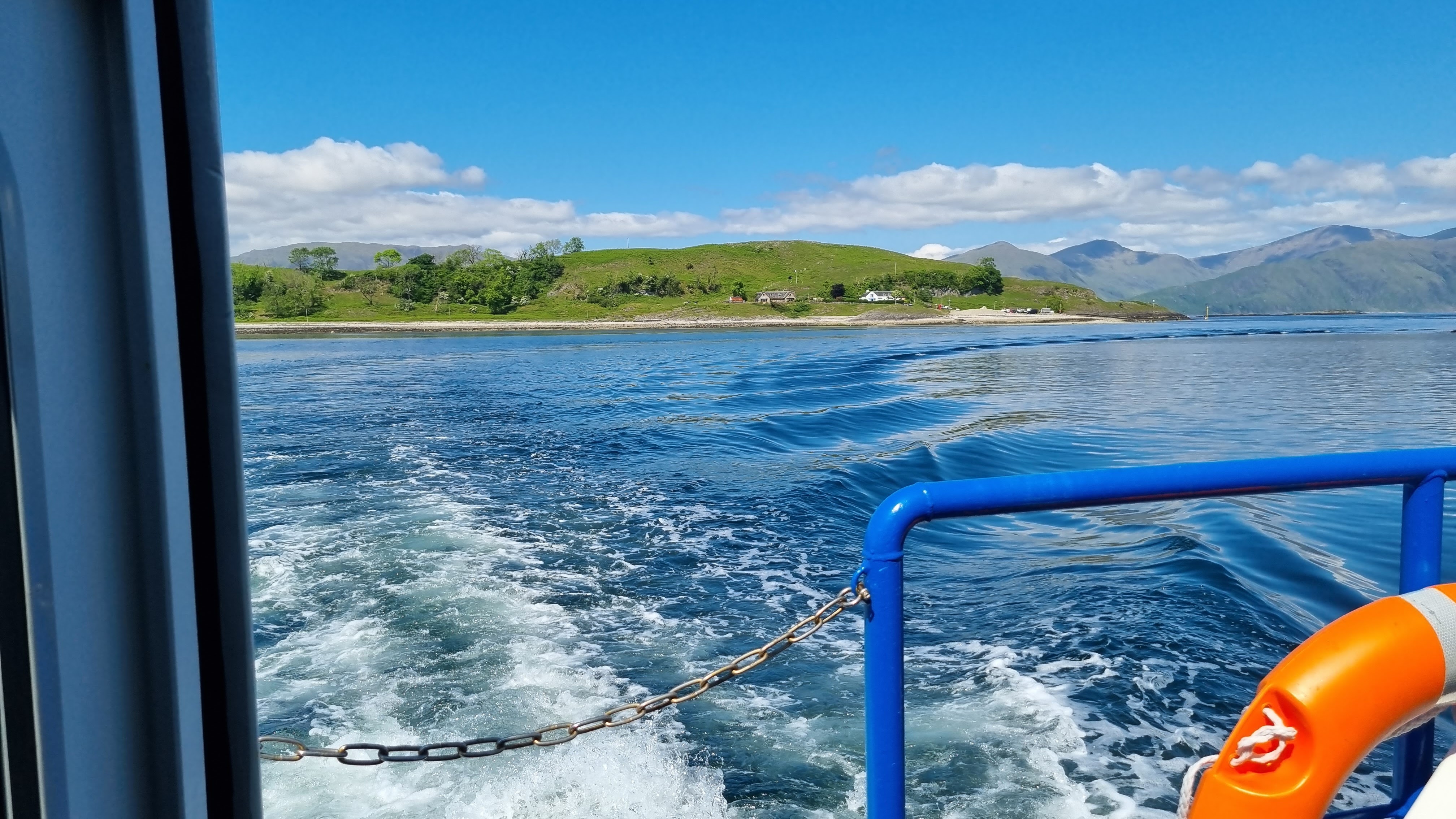
And then it was time for the boat back to Port Appin, stopping there for a cup of tea and a scone before the drive home.....


It had been an excellent walk, although short as I had a fair way still to travel to get home. Well worth a revisit some day soon to see the rest of the island.