Thursday, 30 January 2014

Benbeoch

30 January 2014

Participants: Just me
Where: Benbeoch, 464m/1,522', Sub-2k Marilyn, Map 77, NS 495083

Well that was something different! Benbeoch stands in the middle of an open cast coal mine or, more correctly, Benbeoch is an opencast coal mine. Jealously guarded by Scottish Coal, I had read accounts of  hill walkers hiding behind boulders to avoid the security, climbing the hill on Christmas day when there was no work going on and other such surreptitious activities. Such is the world of the Marilyn bagger. However, all that changed a few months ago when the company went bust. One day they were there, the next they were gone.
 
So it was with a fair bit of confidence that I parked opposite the farm of Pennyvenie on the B741 just east of Dalmellington. On the hill, the map was no good as all the contours had been made meaningless by the opencast workings. I had looked at Google Earth before I left the house to see what the land looked like but in the event it had changed a lot in the short time since GE was produced.
 
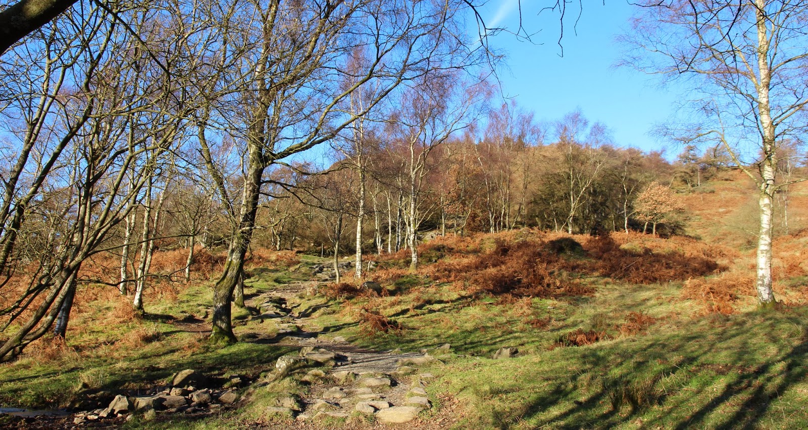
However, the hill turned out to be simplicity itself. Through a gate opposite the farm, across a field and through another gate on to this track heading uphill with my summit ahead of me.....
 
 
I followed it until it met a much wider and smoother track, presumably the main "road" in the mine.....
 
 
I turned left along that track for a few hundred yards until I could see a way up the hill, following the line of an old wall. The route was roughly in the direction of the left hand skyline in this picture.....
 
 
The whole place was deserted. Not a soul to be seen, nor a piece of machinery. Once off the track I followed the wall which led me to a couple of gates in a barbed wire fence that crossed the hill. Why that fence was needed is a mystery as there clearly had not been any animals on the hill for years. Soon I could see the cairn.....
 
 
which turned out to be quite substantial.....
 
 
I was surprised to find a tattered Union Jack on a thick metal pole stuck into the cairn; I suspect that it had been put there to commemorate some long ago battles (or maybe not so long ago) rather than as a hint as to which way to vote in the forthcoming referendum....
.
 
The views were certainly different.....


It's only when you are actually looking down on these mines that you realise their scale. It's going to take a lot of time and money to restore all of that ground. Given that an opencast mine has a fairly short shelf life anyway, I can't imagine that this one will ever open again. So Benbeoch is once again available for all to climb, and if you can manage to ignore the sight of the workings, it's not a bad walk either. 

Wednesday, 8 January 2014

Benarty Hill

8 January 2014

Participants: Neil and Ben
Where: Benarty Hill, 356m, Sub-2k Marilyn, Map 58, NT 153979

Well that's my 2014 hill walking underway. The weather has been awful since the start of December with almost constant rain and gales but the forecasters seem a bit more optimistic that there is calmer weather to come. We shall see.

I decided to start the year with one of the smaller Marilyns, Benarty Hill in Fife and which I last climbed in 2011. It is lower than the other Lomond hills but has a very distinctive outline.....


The easiest approach seems to be from the south, from the road that goes to Ballingry. There was room to park a couple of cars at the start, and the path up was way-marked.....


The path rose steeply at first up some wooden steps. It got narrower higher up and there was an old fence and wall combination to cross to get out of the trees and on to the open moorland. From that point there was a good view west to Knock Hill and Dumglow....


It was then a simple task of following a narrow path across the moorland to the trig. A few yards past the trig the hill fell away steeply to the north down to Loch Leven. I only stopped at the edge long enough to take this photograph of the loch and Bishop Hill as I didn't want Ben to wander about at the top of a vertical slope.....


The flat moorland doesn't allow for extensive views but here is a picture of Ben at the trig with the Lomond hills in the background.....


and a view west to the Ochils.....


It was only a short walk, a leisurely 1 hour and 10 minutes car to car. After I got changed, I drove round to the RSPB Vane Farm reserve There were a lot of Whooper Swan on the loch but not a great deal else so after a quick look from the hides I repaired to the café for a plate of soup. It was carrot and orange, unusual but nice. What has become of good old fashioned lentil soup in cafes nowadays, I ask myself?

All in all, a pleasant day out.

Sunday, 29 December 2013

Craig of Monievreckie and reflections on 2013

29 December 2013

December has not been a good month for hill walking, especially if you live in the west of Scotland. It seems to have been one storm after another but at least there hasn't been any snow. But today the weather had relented, just in time for a final hill walk in 2013. I didn't want to drive far so it was back to an old favourite, the sub-2k Craig of Monievreckie neat Aberfoyle.

I made an early start as the forecast was for more rain coming in later in the day. There was a lot of cloud about, but that was only to be expected for late December. However the sun was making periodic appearances, so it was quite atmospheric. I won't bother describing the route because it was the same as that I have blogged in the past. Above the forest and out on the hillside I was surprised at how vibrant the colours were. This is looking to Ben Venue with the sun just catching the snow at it's very top......


It was a bit cloudier to the west but I could make out Ben Lomond through the gloom.....


and then we were at the summit.....


There was a bit of cloud in the valley when we got there, it made the Lake of Menteith look very atmospheric.....


But the cloud soon dispersed. The best of the view was to the east, towards Beinn Dearg, another sub-2k....
.

While I was having my cuppa at the trig, four folk and two dogs appeared, also taking advantage of the break in the weather.

This walk gave me the opportunity to reflect on my walking in 2013. A year that had started with me recuperating from major cancer surgery and not knowing whether I would be back on the hills or not. However I recovered quickly and by the time that the main walking season arrived in April I was confident enough to head to some of the rougher stuff in the highlands. I concentrated mostly on sub-2k Marilyns although I also managed some new Grahams. I had been conscious that there were two milestones approaching- Ben's 100th listed hill and my own 700th Marilyn. Ben reached his first on Knockan, an inauspicious wind turbine covered hill in Banffshire. I was less sure about me reaching 700 but a good spell of weather in October and November saw me there (on Fionn Bhealach in Arran) and in fact I finished the year having made a good start on another 100!

To be honest though, I am simply glad just to be out on the hills again.

To everyone who reads this blog, have a great New Year.

Neil and Ben

Sunday, 24 November 2013

A tiddler on the way home from the Lakes - Lambrigg Fell

23 November

Participants - Just me
Where - Lambrigg Fell, 338m/1,109', Sub-2k Marilyn, Map 97, SD 586943

I had been staying at Windermere for my couple of nights in the Lakes so I came back out to the motorway via Kendal. It just so happened that this route passed a previously unclimbed Marilyn! The brilliant weather of yesterday had moved away south and it was a typical late November day, overcast and a bit chilly. However, although the high Fells were cloud covered the tiddlers were clear. I parked off the road beside a quarry opposite a bridle path that went up the hill. On closer inspection of the sign, I found, in small lettering, the words "access land" which I reckon must apply to Lambrigg Fell itself, although it wasn't obvious. There was a shooting party in the adjacent field so I kept to the bridle path as far as possible. Every so often, the posse would let off a volley of shots, presumably waging war on rabbits.

This is Lambrigg Fell from the start of the bridle path.....


It is just a piece of moorland that happens to have the required amount of drop to give the highest point Marilyn status. I found three possible mounds that could have contained the highest point. It was impossible to see where it actually was, it was not marked by any feature and of course I don't have a GPS that would have told me definitely. Anyway, I'm claiming the tick! There was a well built stone wall between all three humps.

The best of the view was towards the Howgill Fells.....


and towards Morecambe Bay.......


Some more Lake District tiddlers- Loughrigg Fell and Gummer's How

22 November

Participants - Just me
Where - Loughrigg Fell, 335m/1,100', Sub-2k Marilyn, Map 90, NY 347051 and Gummer's How, 321m/1,054', Sub-2k Marilyn, Map 96, SD 390885

Loughrigg Fell

This was the weather that I was hoping for; it had been frosty overnight, the cloud was lifting off the higher fells, the wind had died away so although the temperature was low it did not feel cold. There are a number of ways up Loughrigg Fell but I decided to start from just north of Rydal. It cost £5 to park the car; this was the first time that I had come across a ticket machine in a countryside car park that was set up to take credit cards. And the parking wardens visited to check that no-one was getting off without paying! But that's the Lake District for you, it's just so popular and busy!

From the car park, I followed a pleasant footpath over a bridge, through a gate and on to the hillside. This path traversed Loughrigg Terrace, which I had read about as providing some great views. And it did. This is looking back from the start of the Terrace to Rydal Water.....


and ahead to Grasmere.....


At the end of the Terrace the path turned steeply uphill. It was well supplied with stone steps. Higher up, the Langdale Pikes started to come into view.....


I had started my walk early but even so, there were a number of people about. This is obviously a popular Fell, justifiably so. But it did provide me with the opportunity to ask someone to take my picture at the trig with the Langdale Pikes in the background.....


I was seeing the Lakes at their best today. I think that I got my timing just right, another week and the autumn colours will have gone. They have been particularly good this year and I am really thankful to the skill of the doctors a year ago that has enabled me to see them. This is looking towards Bowfell and the Langdale Pikes.....


over Elter Water to the Coniston Fells.....


down Windermere.....


over Rydal village.....


and towards the Fairfield hills.....


It was definitely a top to linger on and I did.

Gummer's How

I wanted to see as much of this part of the Lakes as I could. So for my next hill, I drove down the length of Windermere- less than 20 miles from Loughrigg- and just before Newby Bridge turned off up a minor road to the car park for Gummer's How. This time the car park was free- good on the Forestry Commission. Gummer's How is obviously another well known and popular viewpoint.....


There was a notice at the start advising that Luing cattle had been put on the hill to aid vegetation management.....


And sure enough, there they were, enjoying the sunshine.....


A lot of work had been put into maintaining the path.....


and I was soon at the trig.....


Gummer's How is situated at the southern edge of the Lakes and so the higher hills were that bit further away. Windermere provides the foreground; this is looking up the length of the lake to the Fairfield group of hills at its north end.....


and across the loch to the Coniston Fells.....


Once again I spent a fair bit of time at the top. You don't get many days like this in late November and I reckoned that I had made the most of it.

Saturday, 23 November 2013

A Lake District tiddler- High Rigg

21 November

Participants: Just me
Where: High Rigg, 357m/1,170', Sub-2k Marilyn, Map 90, NY 308220

It's the time of year when I'm looking for some smaller hills- of the sub-2k variety- to climb. It was over a year since I'd been to the Lakes and November seemed the ideal time. I like the Lakes but I don't like the crowds. And I reckoned- correctly as it turned out- that most of the bus tours would have finished for the season and the car parks would be easier to get into.

The sun was shining when I left the house but as I approached Carlisle I could see that the higher Lakeland Fells were covered in cloud. Oh well, I was aiming for one of the smaller ones so I should be OK. And yeah, it was clear.....


I decided to be lazy and drive up to the church of St John in the Vale, which took at least 50% off the climb. Now Lake District roads are narrow but this one took the biscuit, or to be precise, swallowed up the whole width of my car. And there was virtually nothing in the way of passing places. If I ever do High Rigg again, I think that I will start from the road end, or walk in over Low Rigg. Anyway, I reached the church, where there was a car park. An excellent path then led up the hill. Looking back, there was a good view of Blencathra. Pity the top of it was shrouded in cloud!


It was however November, so I reckon that it was not too bad. This is a justifiably popular hill, with a large cairn.....


Quite a few other people arrived when I was at the top, none however had followed my laziness and driven up to the church. I could see Thirlmere to the south.....


After sitting around for a bit taking in the view, I went back down and had a look at the church.....


It was apparently built in 1845 although there is evidence of a church on the site from a much earlier date. Then, with fingers crossed (metaphorically) that there was no other car coming up the road, I set off for Windermere, my destination for a couple of nights.

Tuesday, 5 November 2013

Beinn Lagan

4 November 2013

Participants: Neil and Ben
Where: Beinn Lagan, 465m/1,526', Sub-2k Marilyn, Map 56, NS 120996

I hadn't found many reports about this one and when I saw it, I could see why!


It is surrounded by trees, not the nice variety with plenty of space between them like I encountered on Meall Alvie but the real conifer deal, thick forest with lots of fallen timber. I had managed to find out that there had been a bit of tree felling going on on the eastern slopes so that was where I aimed for. I parked in a wee car park just over the bridge at Strachurmore, reached by a minor road from just south of Strachur village. At least I had found the right hill.....


We took the clockwise route round the hill on a good track. After about two miles, the track emerged into an area of clear fell. This is looking back down the way we had come, the colours were still great although I expect that they won't last for much longer. There was a frost this morning which usually heralds the end of the leaves.


At the highest point of the track, which in fact is the col between Beinn Lagan and Carnoch Mor, we struck up the hillside. The clear fell bit was murder; it was twice as bad coming down trying to avoid standing on slippery bits of wood and falling into holes concealed by rushes. Above that was some very steep grass but we eventually emerged onto the plateau. The trig was only a short distance away, perched on top of a small knoll.....


Up here, we were above all the trees and, thank goodness, the views were worth the effort. There was a pass through the hills to the east which contained the Cowal Way and which led through to Loch Goil; this is looking at that area and the Graham of Beinn Lochain, which I have still to do.....


Further round was the Corbett of Beinn Bheula with a bit of cloud on it's top. I did that from this side many years ago.....


To the south there was a glimpse of the Clyde and the hills around Loch Eck.....


And to the west we could see Loch Fyne.....


The Paps of Jura appeared on the distant horizon, I seem to have seen them many times this year. Maybe next year I will get a close up view!

I always like to see as much of the countryside as possible when I'm away walking so rather than return home over the Rest and be Thankful, I drove down Loch Eck to Dunoon and got the ferry across to Gourock. It was worth it if only for this view of the Cowal hills from the boat.....