Monday, 21 July 2014

Creag Ruadh (Dalwhinnie)

20 July 2014

Participants: Just me
Where: Creag Ruadh (Dalwhinnie), 658m/2,159', Graham, Map 42, NN 685882

The day of the MBA meeting was dull and misty with rain spreading in late afternoon. When I got up on the following morning, it was still dull but looked like brightening up. By the time we finished the agenda items that we had not managed to discuss the day before, it was only the back of 10 am, the cloud had lifted and the sun was showing signs of appearing. It was an easy decision- I would do another hill on the way down the road. I still have a few to do in this area but the Graham of Creag Ruadh has always seemed like a good one to do to break up a journey up or down the A9. It is the hill just to the north of  the Munro, Meall Chuaich, both seen here from the walk in along the hydro road that goes to Loch Cuaich.....


I left the car in the lay-by that is the usual parking place when doing Meall Chuaich. After about half a mile, I spotted a gate in the deer fence that surrounds the hill. So I left the road, dropped down to the burn, crossed it, and headed for the gate. And got a very pleasant surprise when I went through it- a 4WD track that headed up the hill. This is a heathery hill, clearly used for grouse shooting, so it was great to be able to follow the track and avoid the thick heather. The track went well up the hill and above it the heather was short so it was an easy ascent. This is looking back past the start to Loch Ericht and distant Ben Alder....


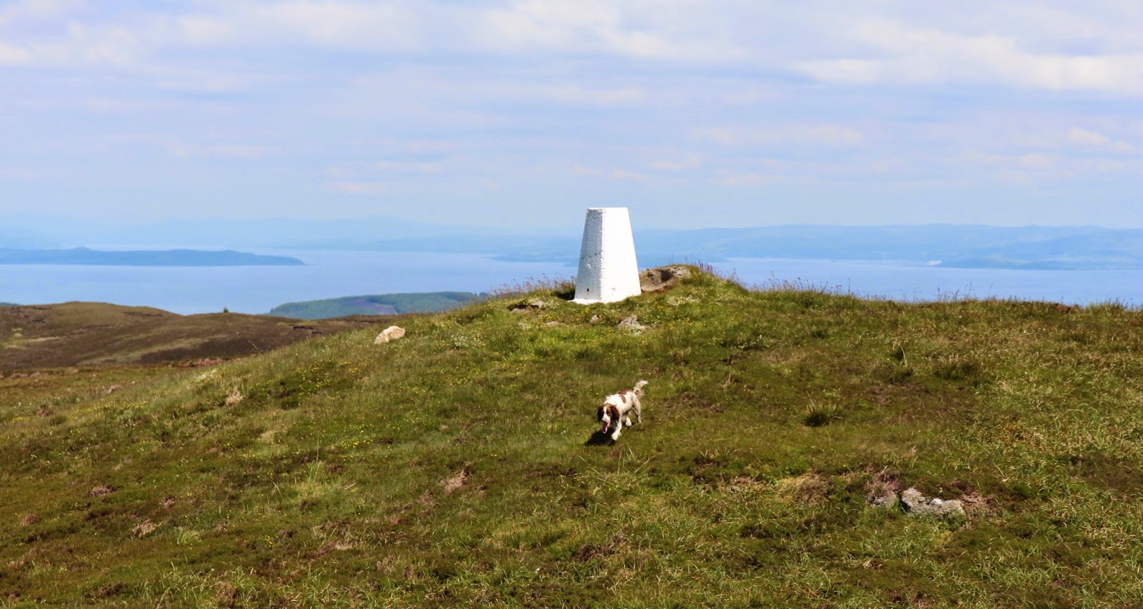
There was an amazingly large cairn for what I guess is a hill that doesn't receive many ascents plus a stone built shelter. As I was looking around, another walker arrived from the opposite direction having climbed up from Loch Cuaich. She was from Edinburgh and we had a good chat before descending the hill together. And, a rare occurrence for me, I got my photo taken at the cairn! The first pic has Meall Chuaich in the background and the second the Monadliath.....


It wasn't as clear and sunny as Friday but still not bad. This is looking down on Loch Cuaich with the Munro above it.....


across to Carn na Caim.....


and across the A9 to the Monadliath with Friday's hill, Cruban Beag in the foreground.....


The track wasn't very distinct, especially from above, but I somehow managed to find it again and so avoid the heather on the way down. I suppose that the walk took just over 3 hours in total, including a good stop at the top. Continuing down the A9, I came across heavy rain around Pitlochry, but it was brilliant sunshine from Perth home. I had made the most of my weekend.

Cruban Beag

18 July 2014

Participants: Just me
Where: Cruban Beag, 590m/1,935', Sub-2k Marilyn, Map 35, NN 668924

It was the summer meeting of the MBA Trustees and this year the venue was Laggan. The south of the UK was due to experience thunderstorms and torrential rain but it looked as though Scotland was going to miss that. However it was to be hot. The day before the meeting looked the best bet for a day on the hills so I set off early with the aim of climbing Cruban Beag, the highest point of a triangle of land between Dalwhinnie, Newtonmore and Laggan, This is a photo of the hill taken from Laggan on the following morning.....


The cloud was down as I drove north but as so often happens, there was a complete change when I got past Drumochter. Blue sky appeared, the sun came out and it was clearly going to be a nice day. Cruban Beag is a craggy hill but the map suggested an easy way up from it's north side. So I took the narrow unclassified road that passed Glentruim caravan site and managed to get the car off the road at a bridge over a burn at about 659935. I walked back along the road for a few yards and crossed a gate into a field. I followed a track across the field and through some trees and reached a fence which was heading up the hill in the direction that I wanted to go. So I followed it and in fact there was a rough path beside it which avoided any potential vegetation problems. The fence went most of the way up the hill and where it turned away I was only 10 minutes from the summit.

It was a pleasant walk up. Here, I am looking west up the Spey valley to Creag Meagaidh.....


but the most striking view was over the valley to Creag Dhubh west of Newtonmore. The full extent of the rock climbing area is well seen from here. Fortunately, for non-climbers like me, there is an easy way up avoiding all that!


The summit was marked by a round trig on a rocky knoll and it was another good view point......


I took a wide angle shot of the view to the west. Some well known Munros and Corbetts here- from the left it shows Ben Udlamain at Drumochter, the Fara, the Geal Charn hills, Binnein Shuas and Shios looking tiny in the middle of some of the bigger ranges, and Creag Meagaidh with the window clearly visible.....


and back on normal focus length, the Fara, Geal Charn and the Shuas and Shios twins.....


and Creag Meagaidh.....


the trig with the Monadliath and Creag Dhubh in the background.....


and the view east to the Cairngorms, with their tops still in cloud.....


It wasn't actually as hot as had been forecast, just pleasantly warm with a faint breeze that kept the flies away. So I was able to sit at the summit for a while and admire the view. Another little known sub-2k had turned up trumps!

Tuesday, 1 July 2014

Cruach Tairbeirt

30 June 2014

Participants: Neil and Ben
Where: Cruach Tairbeirt, 415m/1,362', Sub-2k Marilyn, Map 56, NN 312058

I have climbed Cruach Tairbeirt a number of times, it is a very fine viewpoint above Tarbert, Loch Lomond. I followed my usual route which I wrote up in February 2011 so I'll just post a few photographs this time. I crawled my way up the hill rather than walked it; I'll blame the hot and humid weather, either that or I'm really getting past it! There had been a fair bit of wind fall since my last visit but a bypass path had already formed round the obstacles, proof of the popularity of this hill.
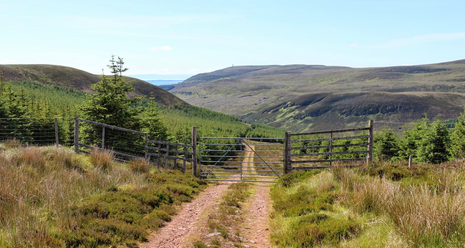
 
Looking to Ben Reoch just after emerging from the trees.....


Ben Lomond and Loch Lomond from just above the tree line; it's worth climbing the hill just for this view.....
 
 
The Brack, the Cobbler and Beinn Narnain......
 
 
Looking down Loch Long.....


Saturday, 28 June 2014

Tighvein

27 June 2014

Participants: Neil and Ben
Where: Tighvein (Arran), 458m/1,503', Sub-2k Marilyn, Map 69, NR 997274

The good spell of weather continued, in the west anyway, so another island trip beckoned. I had been to Cumbrae earlier in the week and the Arran peaks tempted. So it was an early start from home to catch the 9.45 ferry at Ardrossan. Tighvein, the highest point in the south of the island was the target today. This is a view of it from the ferry- it is the plateau to the right of Holy Island. Can't say that I had noticed it before, it just looked like any other bit of high moorland but I was hoping for a good walk without too much rough ground plus some good views.....
 
 
The weather forecast was looking as though it would be correct for once; I was certainly tempted to abandon my sub-2k for another ascent of Goatfell but resisted.....


The starting point was a small Forestry Commission car park at Dyemill, just to the north of Lamlash The map showed a path going to Urie Loch which was on the 1,300' contour so that would be most of the ascent taken care of. In fact it was signed and there was a waymark pole from time to time. Obviously the loch was a popular local walk. The path started in a deciduous forest alongside a stream and then entered a pine forest where it got a bit steeper. This section was a bit muddy in places but not too bad and we made good time. The path ran along the top of the forest for a bit, steepened, and then we were out of the trees on to the plateau. There was a great view back to Lamlash......
 
 
across to Holy Isle.....
 
 
across the moor to the main Arran peaks.....
 
 
and this is Ben pausing to take it all in.....
 
 
The loch was just ahead in a small dip with Tighvein above it, not far away at all.....
 
 
The path ended at the loch and after that it was just a case of ploughing across some rough heather moorland and crossing a few peat hags. I doubt if other than Marilyn baggers would venture further than the path end! However there was very little ascent left to do and around 15 minutes saw us at the top, where there was both a trig and a cairn. The trig looked marginally higher. It was certainly a clear day; I could see the coastline of Northern Ireland, Kintyre, Ailsa Craig, the Ayrshire coast with the Galloway hills beyond and of course Goatfell. Here are a few photographs....


So another unpromising looking lump of a hill had turned out to be a special viewpoint. It is however one to leave for a clear day. It took about 3 hours up and down and that included a generous amount of time sitting around at the top.
 
The Goatfell hills were still looking good when we got back to Brodick.....


Saturday, 21 June 2014

Birnam Hill

19 June 2014

Participants: Neil and Ben
Where: Birnam Hill, 404m/1,324', Sub-2k Marilyn, Map 52, NO 032402

There are still a number of Marilyns just off the A9 that I haven't climbed but for one reason or another they are not dog friendly. So I decided to stop off on the way home and do Birnam Hill again; the circuit north to south is an enjoyable 2 and a bit hours. And the weather was lovely again. I parked at the station and was soon on the path that winds steeply uphill through a lovely, mainly birch, wood.....
 
 
There were occasional views down to the villages of Dunkeld and Birnam.....
 
 
Last time I was here the summit marker was just a huge pile of stones, now it is a properly built cairn with steps built into it and places to rest weary legs.....
 
 
The best of the view is to Schiehallion but.....another wind farm has made an appearance! I counted over 40 turbines.....
 
 
After a good rest at the top we carried on heading south where some steps have been built into the hillside at the steepest point. Just past here there was a good view to the Sidlaws.....
 
 
This is part of the path on this side of the hill.....
 
 
It was a really hot day again and Ben was really pleased to come across this beautiful double waterfall and pool.....
 
 
I have climbed Birnam Hill now on a number of occasions. It is great at all times of the year- a highly recommended walk.

200 Scottish Sub-2k's up- Ben Horn

18 June 2014

Participants: Neil and Ben
Where: Ben Horn, 521m/1,710', Sub-2k Marilyn, Map 17, NC 807064

I had always fancied visiting the hills of Eastern Sutherland and Caithness and a search of various hill-walking websites drew my attention to Ben Horn as being one of the best hills in the area. The forecast was good although warm so as I was based in Inverness for a few days I decided to seize the opportunity and go for it. What a good decision that turned out to be. So I drove to Golspie and turned up the single track road that goes up Dunrobin Glen as far as Bridge of Horn where there was lots of parking.....
 
 
The route initially was through some forestry but that soon ended. There was a gate at the top of the forest and a style beside it; Ben was having nothing to do with the style but fortunately he was able to squeeze through a gap low down in the fence. Bigger dogs would have a problem. This is looking back from through the gate, the hill in the distance is Ben Bhraggie with the monument to the Duke of Sutherland prominent. I must go and have a look at this infamous object next time that I'm in the area, especially as Ben Bhraggie is the south top of another sub-2k! The Duke and his kind drove out all the people so that they could use the land for sheep, but strangely I never saw a single one of these beasts on the hill today. Maybe the sheep have in their turn been driven out to be replaced with wind turbines- see later.....


Now my hill was in sight standing above a loch of the same name.....
 
 
The going was excellent after I got past the immediate lochside area, short heather that was easy to walk over. And the views were starting to open out. This is a telephoto shot of Ben Bhraggie.....
 
 
and this is looking down on Loch Horn with Ben Wyvis and Carn Chuinneag on the horizon.....
 
 
It was a steady pull up to the summit where there was a small cairn. At last I seem to have got Ben to sit at cairns and trigs to get his photo taken.....


What a situation, pity there had to be a downside. This.....a wind farm on the north slopes of the hill spoiling the view to Ben Klibreck and the other hills of the far north. I don't mind wind farms in industrial areas but this is one that should never have been allowed......


The view further round was to Morven and its neighbours and would you believe it, there was another wind farm, although not so prominent.....


It was warm in the sunshine but there was a wee bit of a breeze so I sat around for a good while. Even with the wind turbines, it was a fantastic viewpoint, everything that I had hoped. I took a couple of wide angle shots, the first is over Loch Horn to the distant Ben Wyvis (with the snow patches) and Carn Chuinneag, the double topped hill to the right, and the second is the northern arc of hills- the big pointy one is Ben Klibreck with Ben Armine centre and the Ben Griams to the right.....


Then it was back the same way and of course Ben had a swim in the loch.....
 
 
It was only when I got home and checked my records that I realised that this had been my 200th Scottish sub-2k Marilyn. I had certainly (unconsciously) chosen a good one for that landmark. And there are lots of other good hills in this area to tempt me back.