Friday, 28 January 2011

Sgorach Mor

26 January.

Participants - Me and Ben
Where - Sgorach Mor, 601m/1,972', Sub-2,000' Marilyn, Map 56, NS 097850

The forecast said that the best weather would be around the western coastal fringes so I headed to Cowal, an area with a number of Marilyns. It is also an area of the country with lots of trees so there is always a danger that an intended route might be closed due to forestry activities. I feared the worst when I arrived at the track end to find stacks of newly cut logs and lots of warning notices. However, none of them said "keep out" so Ben and I set off up the forestry road.....


We soon encountered a lorry piled high with logs coming down the track and soon after were passed by a couple of logging machines going up but all their occupants gave a smile and a wave; it was good to find one company that did not impose a blanket ban on pedestrian access whenever work was taking place. After about a mile and just after passing a picnic bench, a rougher track branched off to the right and we took this. It was marked on the 1:25 000 map but not on the 1: 50 000. Looking back down the path there were glimpses of Cruach Neuran across Glen Lean- it is another Marilyn that I haven't done but looks a much more testing prospect than Sgorach Mor being completely surrounded by forest.....


There were also glimpses of Loch Tarsan where there seemed to be a lot of work going on at the dam....


Higher up, where the path made a sharp right turn, we left it to go up a short, steep fire break which took us out of the trees and onto the hill. The going was quite good- grass mainly- and after passing the top called Sgorach Beag, the main top of Sgorach Mor came into view.....


Face on it was quite rocky but much grassier on its northern side and it didn't take long to get to the top where I almost got Ben to stay still long enough to get his photo taken (Isle of Arran in the background distant).....


The weather was calm so I decided on a break for some food. Oh dear! Ben is very nosey and also loves food; the concept of a rucksac that contained both interesting and edible things was too much for him and it was clear that I was not going to get any peace. So I had to pack everything away again and prepare to head down; further training required! Meantime, if you see us on the hill, secure your rucksac!

Although the sun had disappeared by this time and a veil of cloud had moved in the atmosphere was very clear and I could see the hills of Jura and Mull on the western horizon. This is a zoom shot of the Paps of Jura.....


I wasn't sure what all the hills were in this part of the country although I eventually realised that the right hand one of this pair had to be Beinn Mhor which I had climbed a couple of times from Glen Masson.....


On the way down there was a good view of Loch Tarsan.....


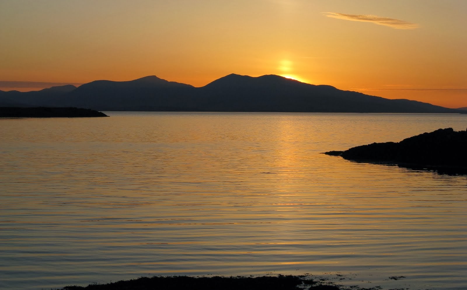
The walk took around 3 hours 30 minutes and after a quick visit to a cafe in Dunoon for a hot chocolate and a slice of apple pie to make up for my missed lunch on the hill it was back to the ferry. There was a bit of a sunset over the Cowal hills on the trip back.....

Tuesday, 18 January 2011

Newtyle Hill

18 January.

Participants - Me and Ben
Where - Newtyle Hill, 317m/1,041', Sub-2,000 Marilyn, Map 52/52, NO 050419.

I had read a number of reports about Newtyle Hill, a Marilyn outside Dunkeld. They all spoke about a hill cloaked in thick bracken and heather and one to be avoided in the summer months. A day in January after one of the longest freezes for years and when the vegetation would be at its most benign seemed, therefore, to be the ideal time to tackle it. I parked in the Scottish Wildlife Trust car park at Loch of Lowes and walked along the loch side for a few hundred yards to the start of a track that went round the hill and apparently down to Dunkeld.....


Where the path split I took a left hand branch which wound its way round and up the hill ending at a telecommunications mast. There was a good view of the loch, still frozen, from here.....


It was a nice walk through mostly birch woodland.....


and there was a good view of Birnam and the bridge over the Tay from higher up.....


The track ended at the mast and it was then a case of continuing uphill behind the mast initially through rough grass and bracken. There were a number of tops ahead, all seemingly roughly the same height (the actual summit is the pointy one on the left).....


As I approached it, the grass and bracken was replaced by heather which even at this time of year was thigh deep in places. Goodness knows what it is like in August! Ben struggled gamely through it.....


and soon we were at the top, which surprisingly boasted a cairn.....


The views were of the distant variety; this is looking north towards Drumochter.....


So it turned out to be a much better hill than I had anticipated providing a good short days outing. It was not nearly as bad as others I have been on. It is also definitely worth following the track to the telecommunications mast as this leaves only a short section of bracken/heather to climb; the approach from any other direction looks as though it involves crossing rough ground all of the way.

Sunday, 2 January 2011

Into 2011.....Allermuir Hill

Participants - Me, Steven, Roddy and Ben
Where - Allermuir Hill, 493m/1,618', Sub-2,000' Marilyn, Map 66, NT 227662.

2011 had arrived and my hillwalking year started with a trip to Edinburgh to meet Roddy, who was continuing to have problems with a toe and could only manage a small hill. But that was OK as all of the weather forecasts had failed us for once and there was no sign of the promised blue sky and sunshine. The choice for the first hill of the year was Allermuir Hill which, together with Caerketton Hill, overlooked the Hillend ski centre and Edinburgh from the east end of the Pentland's. The sky was  a uniform grey so only a few photographs were taken to record the occasion- which I have to confess is probably just as well as I had forgotten to change the batteries in the camera and it refused to co-operate soon after reaching the trig!. We decided to avoid the steep slope up onto Caerketton Hill opting instead to follow a lower path which went up alongside Lothianburn golf club and joined the ridge at the col east of Allermuir. Most of the snow of recent weeks had gone; only patches of mostly ice remained. Here we are leaving the ski centre with Caerketton ahead.....


This was a very gentle ascent and we were at the trig in no time; here are Roddy, Steven and Ben arriving (Ben is the brown and white streak of lightening heading straight for the camera, anxious to claim his fourth Marilyn).....


and here I am with Ben on his lead, the only way he would stay still to get his picture taken!.....


The view over Edinburgh was grey and uninspiring today but there was a reasonable view west to some of the other Pentland hills including Scald Law.....


We returned by the same route, a walk of just over an hour. The Pentlands are my old stomping ground and as a number of them are classed as Marilyns, I am looking forward to a few more return visits in the months ahead to be able to add them to the blog.

Saturday, 1 January 2011

So that was 2010.....

Well, that's 2010 over and an enjoyable year it was for hill-walking. I would say that the weather was better than average, despite the long periods at the start and end of the year when thick snow blanketed everything. I climbed 69 hills-13 Munros, 3 Corbetts, 10 Grahams and 42 sub-2,000 Marilyns (I climbed Conic Hill twice.) 18 of these hills were new ones for me and it enabled me to push my Marilyn total beyond 600 and gain access to the Hall of Fame. Can't see me making the upper Hall though! Nonetheless, there are still plenty of new hills to do and lots of repeats that I want to do so I hope that the weather is kind again in 2011.

I'll close the 2010 entries with this picture of the hills of Mull- Beinn Talaidh and Dun da Gaoithe- taken from Oban in April.....

Thursday, 25 November 2010

Common Hill

24 November.

Participants - Me and Ben
Where - Common Hill, 488m/1,600', Sub-2,000' Marilyn, Map 71, NS 792308.

The best of the weather was in the west so I headed down the motorway for a walk with Ben on Common Hill, a Marilyn outside Douglas. I drove as far as the houses at Douglas West where there was lots of parking. This is Common Hill from the Douglas West road.....


For some reason, each of the tops of this hill has a different name- Common Hill, Broomerside Hill, Henry's Hill, Hagshaw Hill, etc. It contains one of Scotland's earliest wind farms which was extended a few years ago.....

One advantage of the wind farm is the track that meanders all the way to the summit at a gentle gradient. Ben barked at the turbines when he first spotted them but soon stopped when he saw that I was not bothering about them. Here he is approaching the first of the turbines.....

All of the snow of the previous week had melted. I could see last week's hill, Dungavel Hill, just to the left of the trig in this photo, with the Culter hills beyond......

Tinto was prominent.....

as was Cairn Table to the west.....

There was also a good view of Tinto from the track on the way back.....

It was a walk of about 4 miles with about 240m of ascent, a fairly gentle leg-stretcher and just right for a young dog. Hope that this good weather continues!

Monday, 15 November 2010

Dungavel Hill- first taste of winter

15 November.

Participants - Me and Ben
Where - Dungavel Hill, 510m/1,673'. Sub-2,000' Marilyn, Map 71/72, NS 942305

The weather was great when I got up and looked like staying that way for a few hours before the next rain came in from the west. So there was just time to do a Marilyn! I got a surprise though as I drove south- everything south of Lanark was covered in snow and it had obviously snowed down to road level before mostly melting low down. I wondered how Ben would take to the snow but I needn't have worried, he loved it. This is Dungavel Hill from Newton; we went up by the long west ridge having found a parking spot beside a cattle grid on a narrow road that goes to Roberton.....


Although grass and heather poked up through the snow,  in places it was surprisingly deep, more than 6 inches. Not thinking ahead as usual, I hadn't bothered to bring my gaiters so my feet were soon wet. Ben sort of bounced uphill through the snow and we made good progress.  The trig had seen better days.....


Fortunately there was a fence at the top so I was able to tie Ben's lead to it so that I could get some photographs. This is Ben at the top with the Culter hills in the background.....


another view of the Culter hills from slightly down the east ridge.....


and looking up the Clyde valley towards Biggar with the Pentlands in the distance.....


Tinto is very close to the north but there was a cap of cloud on it all day....


The journey down had been a bit slow as there were roadworks in Lanark so I went back by the motorway. This is a last view of the hill from the A73.....

Wednesday, 10 November 2010

Moncreiffe Hill, Ben's first Marilyn

10 November 2010.

Participants - Me, Steven and Ben
Where - Moncreiffe Hill, 223m/732', Sub-2,000' Marilyn, Map 58, NO 136199 

The beginning of November until the shortest day is my least favourite time of year; daylight hours getting shorter, grey skies, lots of rain- depressing really. But occasionally a good weather day comes along and today was one. Ben is now 4 months old and has lots of energy; he has been going for walks in the country parks near to home and I reckoned that it was now time to take him on his first hill walk! I chose Moncreiffe Hill just to the south of Perth. Although it is a Marilyn, it is more like a woodland walk than a true hill- it has wide tracks and gentle inclines so is just right for a wee dog. And it's summit is an excellent viewpoint for human companions. This is a view that I took of it from near to Bridge of Earn on a previous visit.....


We parked at the car park on the south side of the hill; here are Steven and Ben setting off on the walk.....


 Unfortunately, there has been a bit of timber harvesting recently and the tracks were well churned up. There were also some new tracks going in. The woodland was a mix of conifers and deciduous trees and although the best of the autumn foliage was past, I was pleased to see that there was still some colour left on what leaves remained.....


A steeper uphill section on a new track led to the summit- Moredun Top- which is clear of the trees. Apparently it contains the remains of an Iron Age fort; logical for one to be built here I suppose as the top looks down on all of the low ground for miles around. Here I am with Ben at the cairn with Stuc a'Chroin and Ben Vorlich in the far distance. All of the higher hills had some snow on them.....


And here is Ben topping out on his first Marilyn (Perth in the background). Isn't he a good dog sitting patiently to have his photo taken? Hmmm, not quite, what you can't see is Steven behind the cairn holding him in position.....


Moredun Top is a great viewpoint for such a small hill, particularly on a day like this. This is looking to the Lomond Hills in Fife.....


down the Tay towards the estuary; Norman's Law is the hill in the distance.....


and across the Friarton bridge to Perth with the Glenshee hills distant.....


We carried on following the track in an easterly direction and in places the mud got worse. Even so, it was a nice walk through the forest and it took us just over two hours....


Ben slept in the car on the way home, but was full of life again as soon as he got out.

Tuesday, 26 October 2010

Wisp Hill

24 October.

Participants - Just me
Where - Wisp Hill, 595m/1953', Sub-2,000' Marilyn, Map 79, NY 386993.

I had been at a weekend of MBA meetings including the AGM at Greenhead in Northern England and just had enough time for a short walk on the way home. There are a small group of Marilyn's just north of Langholm that I had never visited so I made a small diversion up the A7 to tackle one of these. Wisp Hill was the closest to the road so that was the one that I chose. This is a view of Whin Fell, its southern top, from the A7.....


The eastern slopes were steep sided so I drove as far as Mosspaul hotel before parking so that I could tackle the more gentle north-east slopes. Wisp Hill turned out to be a grassy hill and it was a bit tussocky in places but generally the going was OK. I paused on the way up to take this picture of the road with the hotel and the hills in the direction of Hawick.....


The trig soon came into view.....


It had been frosty the previous night and the atmosphere was very clear so the views were excellent. I could see some of the Lake District hills on the southern horizon.....


and to the north I could make out the distinctive shape of the Eildon hills (right of trig) with Rubers Law, another hill that is on my list to climb in this area, further right.....


Not having been in this area before, I was a bit puzzled as to what the highest land across the valley was but eventually decided that it was Caldcleuch Head, which I climbed from the Hawick side many years ago.....


There was another Marilyn, Pikethaw Hill, just to the south of Wisp Hill but it involved a fair bit of descent and reascent and the sun was already starting to get quite low in the sky so no time to do it today. There is a third Marilyn, Ellson Fell across the A7 but it was surrounded by trees and looked as if it might take a bit of planning to find a way up. So there is plenty to do here and it is a nice area so I must make the effort to come back sometime. Anyway, I had snatched a new Marilyn for my list from an otherwise busy weekend so I was content!